SPILLWAY PARK - CHINOOK SHELTER (OR), OR Campground Reservation, Info, Images, Map, Directions

SPILLWAY PARK – CHINOOK SHELTER (OR), Oregon Campground Images, Info & Reservations

Directions

From Highway 730 turn north on Devore Road, at the stop sign turn left and continue down the hill past McNary Dam’s main parking lot and the Spillway Park Shelter will be on your right once get into the park.

Phone

541-922-2268

Activities

FISHING, HIKING, PICNICKING, DAY USE AREA, OBSERVATION SITE, INFORMATION SITE, DISC GOLF

Keywords

Related Link(s)

Rec Area Info & Images

Oregon State Road Conditions

Oregon State Tourism

Overview

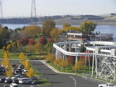
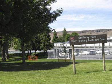
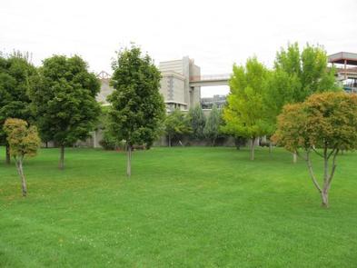
Spillway Park is located on Lake Umatilla just downstream of McNary Lock and Dam in eastern Oregon on the Mid-Columbia River.

Recreation

The park provides two overlooks to watch McNary Dam, a volleyball court and access to the McNary Dam Wildlife Area trail system.

Facilities

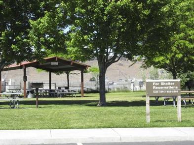
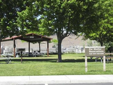
Spillway Park offers one day-use group shelter with eight tables and two fire grills.

Natural Features

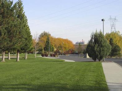
The park is situated along the bank of the Columbia River. Day users can enjoy the relaxing shade as they get a beautiful look at McNary Dam.

Nearby Attractions

The Pacific Salmon Visitor Center, Oregon Fish Viewing Room and the McNary Dam Wildlife Area with its beautiful natural trails are all in close proximity to Spillway Park.

Reservation

More from CampingHiking.net:

WAXMYRTLE CAMPGROUND, Oregon Campground Images, Info & Reservations

Directions From Florence, OR, travel seven miles south on Highway 101 to the Siltcoos Beach Access Road. Turn right on Siltcoos Beach Access Road and proceed one mile west to Waxmrytle Campground. Turn south (left); the campground entrance is the bridge on the south side on the Siltcoos Beach Road.

FOX CREEK HORSE CAMP, Virginia Campground Images, Info & Reservations

Directions From exit 45 on I-81, take State Route 16 South for approximately 17 miles to State Route 603 at Troutdale, Va. Turn right on State Route 603. Campground is approximately 4 miles down 603 on the right. Phone 800-628-7202 Activities CAMPING, FISHING, HORSEBACK RIDING, HUNTING, WILDLIFE VIEWING Keywords Related

JEFFERSON SPRINGS, Tennessee Campground Images, Info & Reservations

Directions From downtown Nashville, TN, take I-24 east to Sam Ridley Parkway. Turn left onto Jefferson Pike and the Recreation Area will be on the left. Phone 615-889-1975 Activities BOATING, FISHING, HIKING, WILDLIFE VIEWING Keywords JEFS,J. PERCY PRIEST,PERCY PRIEST LAKE,J PERCY PRIEST DAM Related Link(s) Rec Area Info & Images

WILLOW LAKE, Utah Campground Images, Info & Reservations

Directions From Ferron Utah Willow Lake is located approximately 25 miles up Ferron Canyon, on Forest Road 022. From Mayfield Utah Willow Lake is located approximately 27 miles from Mayfield. Head East from up Forest Road 022, turn left on Skyline Drive at 12 Mile Campground then following signage towards