
Directions
North (From Richmond, VA)
Follow I-95 South to Richmond, VA. Take I-64 East toward Norfolk/Virginia Beach, VA. Take I-64 or I-664 to Chesapeake, VA. From I-64, take Exit 291B to Route 168, the Chesapeake Expressway (a toll-road costing $3.00 – $6.00 each way). Once in North Carolina, Route 168 turns into US-158 East. Follow US-158 East through Nags Head, NC to the junction of NC-12 South. Continue on NC-12 South until you reach the village of Buxton. Signs for Cape Hatteras Lighthouse and Cape Point Campground will be on your left. Follow Lighthouse Road until you reach Cape Point Campground on your right.
West (From Rocky Mount, NC)
Follow US-64 East through Tarboro, Williamston, Plymouth, Columbia, and Manteo, crossing the Alligator River Bridge and the Virginia Dare Bridge. Keep going on US-64 East to Nags Head, NC, going over the Washington Baum Bridge, to the junction of NC-12 South. Turn right onto NC-12 South and you will be at the north entrance. Continue on NC-12 South until you reach the village of Buxton. Signs for Cape Hatteras Lighthouse and Cape Point Campground will be on your left. Follow Lighthouse Road until you reach Cape Point Campground on your right.
South (From Florence, SC)
Take I-95 North to Wilson, NC. Take US-264 East through Greenville, NC and Washington, NC. From Washington, NC, take US-17 to Williamston and follow US-64 East to Nags Head, NC and the junction of NC-12 South. Continue on NC-12 South until you reach the village of Buxton. Signs for Cape Hatteras Lighthouse and Cape Point Campground will be on your left. Follow Lighthouse Road until you reach Cape Point Campground on your right.
Phone
252-465-9602 OR 252-475-9616
Activities
CAMPING, FISHING, HIKING
Keywords
Related Link(s)
North Carolina State Road Conditions
Overview
Cape Point Campground is centrally located to all of the attractions on Cape Hatteras National Seashore. The campground puts you within walking distance of arguably the best fishing and surfing on the east coast.
Recreation
A short walk through the dunes leads you to the beach at the infamous Cape Hatteras. Many trophy fish have been landed from the point, and it has been a surfing destination for decades. If you prefer to drive to the beach you can access one of the many off-road vehicle ramps within a short distance of the campground. Exploration of the barrier islands beyond their beaches is possible on a hike through the nearby maritime forest. The Buxton Woods Trail is a 3/4 mile loop that can be accessed just north of the campground at the Buxton Woods Picnic Area on Lighthouse Road.
Facilities
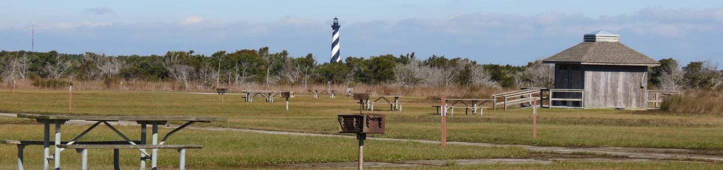
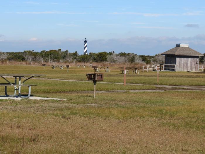
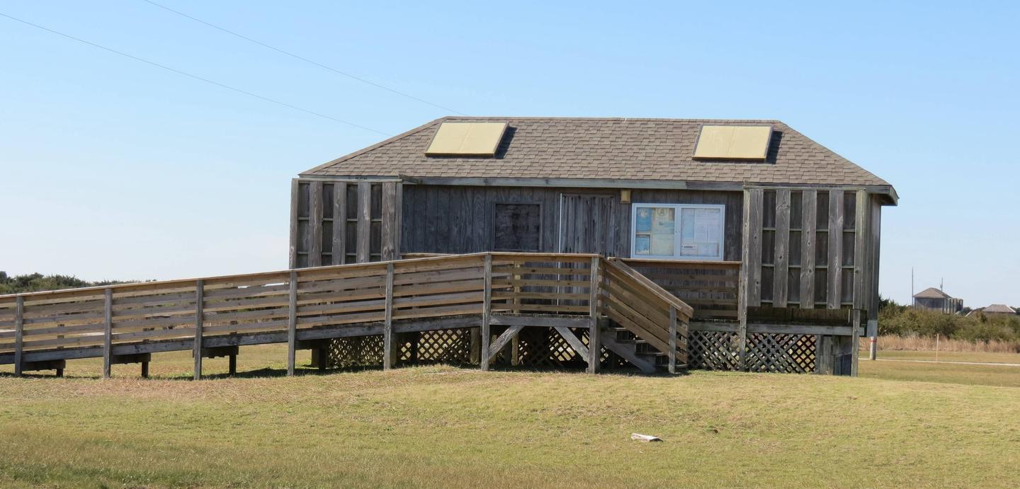
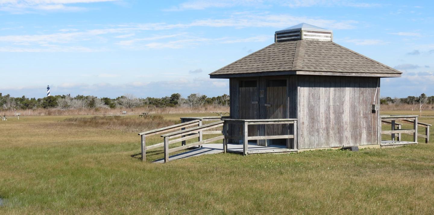
Cape Point Campground is the largest campground on Cape Hatteras National Seashore. Each campsite is equipped with a paved parking pad, picnic table and charcoal grill. Rows D, E, and F are reserved for tent camping only. There are no hook-ups in the campground for RVs. Four sets of restrooms and outdoor shower facilities are dispersed evenly throughout the campground. Water spigots providing potable water are readily available.
Natural Features
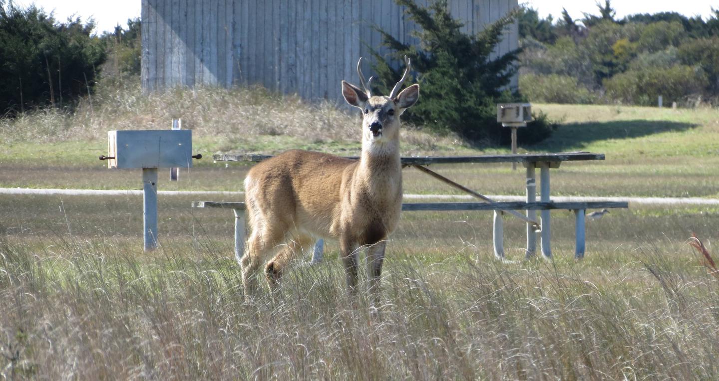
The campground is nestled between rolling dunes to the south and the largest remaining tract of maritime forest on the North Carolina coast to the north. The environment is naturally suited to accommodate many bird and mammal species. A large heard of white tail deer frequent the area.
Nearby Attractions
The iconic Cape Hatteras Lighthouse is located just north of Cape Point Campground on Lighthouse Road. From the third Friday in April until Columbus Day visitors can climb the lighthouse with a ticket that can be purchased from a kiosk on the walkway leading to the lighthouse. Standing at 198 feet, Cape Hatteras Lighthouse is the tallest brick lighthouse in the United States. It has undoubtedly saved the lives of many mariners navigating around the treacherous Diamond Shoals.
Buxton Beach is a family friendly swimming destination staffed with lifeguards from Memorial Day to Labor Day. It is a short walk or bike ride from the campground. Parking is available at the old lighthouse site adjacent to the current location of the Cape Hatteras Lighthouse.