Directions
From Three Lakes travel 4 miles east on STH 32 to Chicken in the Woods Road. Turn left (north) and continue 1.2 miles turning left (north) on Fourmile Road. Travel 0.2 miles, turn left (west) on Leatzow Road and continue 1.2 miles to the campground.
Phone
(715) 479-2827
Activities
BOATING, CAMPING, FISHING, WATER SPORTS, KAYAKING, CANOEING
Keywords
Related Link(s)
Wisconsin State Road Conditions
Overview
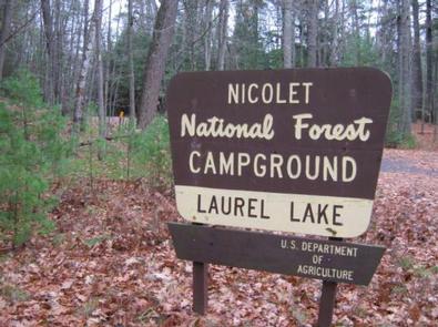
Laurel Lake is part of the 28 lake Three Lakes and Eagle River Chain of Lakes giving the visitor water access to nearly 11,500 acres of water and 174 miles of shoreline. The campground is located in a stand of grand old pines and young oaks.
Recreation
The chain of lakes provides ample opportunity for boating, fishing and swimming. Anglers can expect a catch of musky, walleye, northern pike, large and smallmouth bass, rock bass, perch, crappie and other panfish. The lakes are open to all types of boating, motorized and non-motorized. The campground does not offer a beach area so any swimming to be done will have to take place from your boat.
Facilities
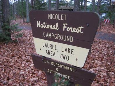
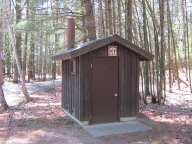
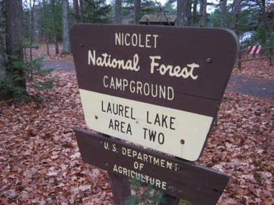
The campground offers 12 single family campsites, available for tent or RV camping. The campground is split between Area 1 which consists of eight sites and Area 2 which consists of four sites. The campground offers both first-come, first-served campsites (5) as well as sites which can be reserved in advance (7). Sites are equipped with tables and fire rings with grills. Vault toilets and drinking water are provided at the campground.
Natural Features
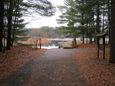
The campground is nestled in a stand of towering pines and young oak trees, at an elevation of 1,630 feet. Laurel Lake is one of 28 lakes which extend from Three Lakes to Eagle River and form the largest inland freshwater chain of lakes in the world, offering endless miles of boating and fishing opportunities, which can be access from the boat landing offered within the campground.
Nearby Attractions
The Town of Three Lakes, once named “America’s Best Town” is located seven miles from the campground. Three Lakes offers a variety of services and activities.


