
Directions
From Colorado Springs, drive west on Highway 24 for about 24 miles to Woodland Park. Turn right (north) on Baldwin St. (which becomes Rampart Range Road). Drive about 2 miles to Loy Creek Road, turn right, and then take another right on Forest Road 300 (Rampart Range Road). Follow signs. The entrance to Rampart Reservoir is about 4 miles further on the left.
Phone
719-636-1602 (INFORMATION ONLY, NO RESERVATONS TAKEN AT THIS NUMBER)
Activities
BIKING, CAMPING, FISHING, HIKING
Keywords
MEAR,RAMPART RESERVOIR,PIKE AND SAN ISABEL NF- FS
Related Link(s)
Colorado State Road Conditions
Overview
Located about 10 miles from the town of Woodland Park, Colorado, Meadow Ridge Campground is pleasantly situated on a ridge above the Rampart Reservoir. Here, campers have access to prime fishing and mountain biking and hiking trails. The campground is in the Front Range of the Rocky Mountains, due north of the popular Pikes Peak. The peak has an altitude of 14,110 feet and was first climbed in 1820. Its claim to fame is that it is America’s easternmost peak over 14,000 feet.
Recreation
Rainbow and mackinaw trout are plentiful in the renowned fishing reservoir and hikers enjoy the trails in the area. Rampart Reservoir Trail and Nichols Reservoir Trail are both worth exploring. Rampart Reservoir Trail extends for 14 miles and is open to mountain biking.
Facilities
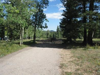
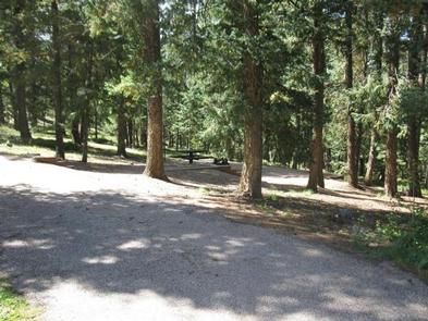
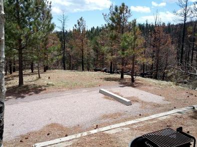
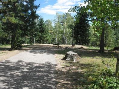
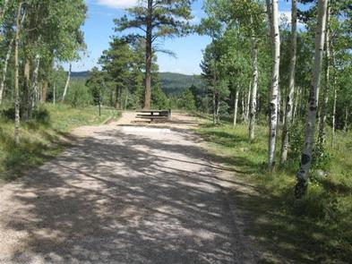
Most campsites are nicely shaded with a grassy understory, and have limited privacy from other sites. Drinking water, picnic tables, campfire rings and two accessible vault toilets are provided for campers. At sites 6,7,10,14,16 and 18, the picnic table and campfire ring are below the road, and steps must be used to reach them. Firewood can be purchased onsite.
Natural Features
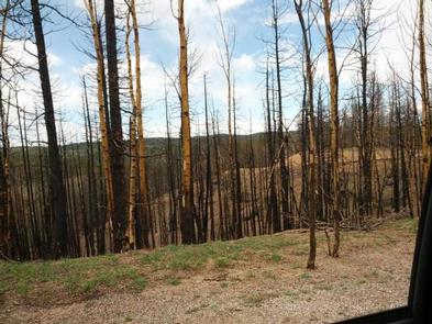
Sitting in a ponderosa pine forest at 9,200 feet, the 19-site campground overlooks the Rampart Reservoir. The surrounding terrain includes a mix of grass meadows, spruce, Douglas fir and aspen.
Nearby Attractions
Take the kids on a tour of the U.S. Air Force Academy or explore the quaint town of Green Mountain Falls. While there, ask the locals about the place they nicknamed Kermit the Frog Mountain.