
Directions
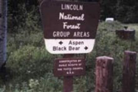
In southeast New Mexico, approximately 20 miles east of Alamagordo. From Alamagordo take US 82 east and go 16 miles. Just before Cloudcraft turn right (South) on NM 130. Go 1.4 miles. Turn left (east) on Forest Road 24B, go 0.5 miles. Aspen Group Area is on the left across from Black Bear Group Area.
Phone
575-682-7570
Activities
CAMPING
Keywords
ASPG,LINCOLN NF – FS
Related Link(s)
New Mexico State Road Conditions
Overview
At an elevation of almost 9,000 ft., campers at the Aspen Group Area can expect cool, crisp, mountain breezes coming off the steep Sacramento Mountains – perfect for an escape from the scorching desert valley below. The campground is surrounded by mixed pine, fir, and plenty of white-trunked aspen trees, with a high likelihood of blue skies above.
The Sacramento Mountains overlook Dog Canyon and the Tularosa Basin. Take advantage of the campground’s high elevation and revel in the breathtaking beauty of the region’s unspoiled vistas stretching out over the Tularosa Basin. Wildlife in the area includes elk, deer, bears. With some luck, you could even spot a roadrunner.
Recreation
The campground is surrounded by a series of hiking trails. To the west you’ll find trails with outstanding overlooks from Alamo Peak and Stark Peak. The most popular hike is the Osha Trail, which is a 2.5-mile loop.
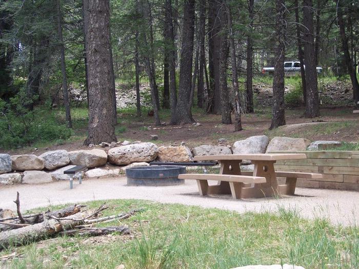
Facilities
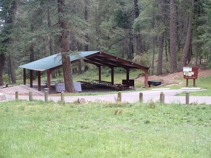
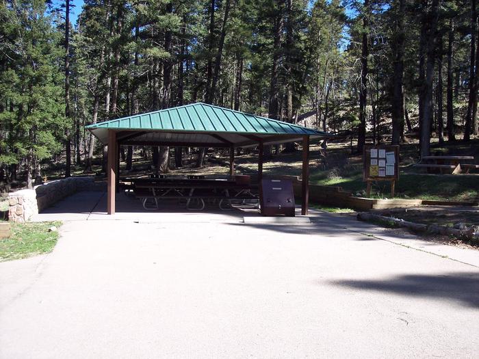
Water can be obtained at Deerhead Campground during peak season, which lasts from Memorial Day to Labor Day. The site is available as a group site only, so groups of anywhere from four to 70 can reserve the whole space.
Natural Features
Aspen is set in the rolling Sacramento Mountains of south-central New Mexico, near Alamo Peak and Stark Peak. It’s part of Lincoln National Forest, most notable as the birthplace of the original Smokey Bear.
Nearby Attractions
The Rim Trail, a breathtaking 32-mile path for mountain biking, hiking, and horseback riding, can be reached a quarter mile from the campground. One stretch of the trail is open to motorcyclists, too. The Oliver Lee Memorial State Park, at the foot of the mountains, is worth a visit to see a restored 19th century ranch house and explore the flowering oasis of Dog Canyon.