Directions
From U.S. 191/Pine Street in Pinedale, Wyoming, turn northeast onto Fremont Lake Road. Drive about 4 miles to a "T" junction and turn left. Go 0.2 miles, turn right at the "Y" junction and drive 3.5 miles to the campground.
Phone
307-367-4326
Activities
BIKING, BOATING, CAMPING, FISHING, HIKING, WATER SPORTS, WILDLIFE VIEWING, SWIMMING SITE
Keywords
FREL,BRIDGER-TETON NF – FS
Related Link(s)
Overview
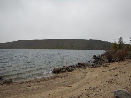
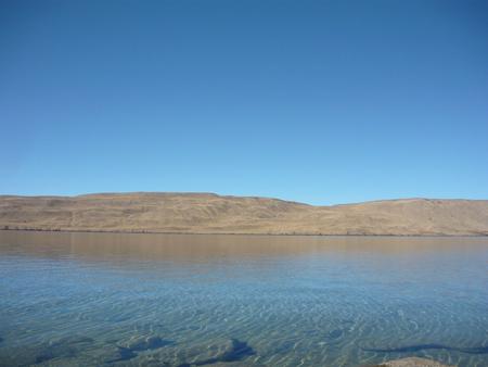
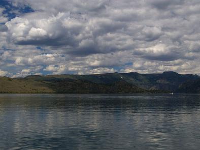
Fremont Lake Campground is located on the east shore of pristine Fremont Lake at an elevation of 7,400 feet, just 7 miles northeast of Pinedale, Wyoming, the nearest full-service community. Water sports and fishing are popular activities on the scenic lake.
Recreation
The lake provides many recreational activities. Anglers enjoy fishing for lake, rainbow and brown trout, as well as kokanee salmon. Visitors also enjoy boating, sailing, canoeing, kayaking and swimming.
Facilities
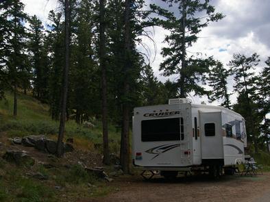
This campground offers 44 single sites, 4 double sites, and 1 group site that accomodates up to 50 people. During the peak season, two Campground Hosts are available for information and assistance. Picnic tables and fire rings with grills are provided, as are vault toilets and drinking water. A boat ramp and dock are on-site.
Natural Features
Fremont Lake sits at the foot of the rugged Wind River Range, known for its craggy granite peaks and sparkling glacial lakes. The campground is situated on a forested hillside above the lake. Aspen, Douglas fir, juniper and a dense understory provide shade and privacy between campsites.
Nearby Attractions
The Museum of the Mountain Man in Pinedale features a large collection of Rocky Mountain fur trade era artifacts. Exhibits include American Indian and Mountain Man displays, as well as history of the settlement of Sublette County, Wyoming.


