
Directions
Take Highway 330 to Running Springs, then head northeast on Highway 18 to Highway 38. Do not cross the Big Bear Lake Dam. Continue on Highway 38 to Fawnskin. Turn onto Forest Road 3N14 and continue about 6 miles to Forest Road 3N16. Turn left and continue less than a mile, then turn right and continue to the campground.
Phone
909-866-8550
Activities
BIKING, BOATING, CAMPING, FISHING, HIKING
Keywords
BPFH,SAN BERNARDINO NF – FS
Related Link(s)
California State Road Conditions
Overview
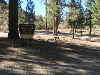
Big Pine Equestrian Group Campground is a beautiful place to take the horses on a camping outing. The facility is comfortably equipped for the equestrian camper and is close to a variety of hiking, mountain biking and horseback riding trails. It is also not far from the scenic, year-round recreation destination of Big Bear Lake.
Recreation
Fishing and boating at Big Bear Lake are popular activities. Anglers can look forward to trout, bluegill, crappie, catfish and largemouth bass, among other species. Because of the very cold water and the presence of underwater obstacles near the shorelines, swimming at the lake is discouraged.
Visitors also enjoy hiking and mountain biking. A variety of trailheads can be accessed near the campground. Off-road vehicle use is popular as well. Nearby Cactus Flats consists of approximately 68 miles of off-road vehicle and motorcycle trails. A picnic area is available at Cactus Flats.
Facilities
The campground offers one group equestrian site, available for tent and RV camping. It can accommodate up to 25 people and five vehicles. Utility hookups are not available and parking surfaces are gravel.
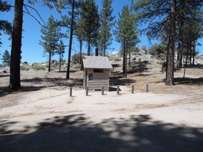
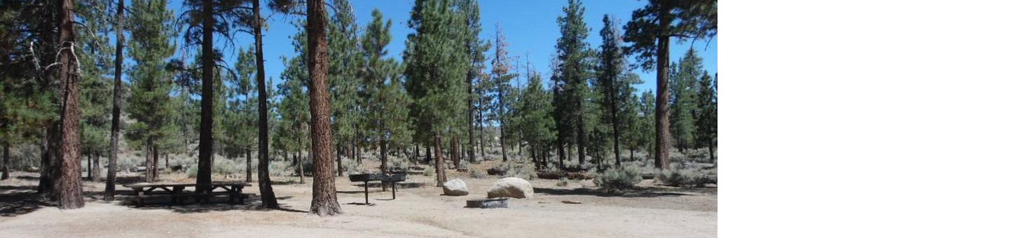
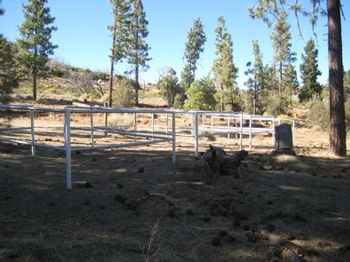
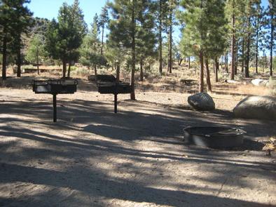
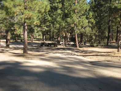
The site is equipped with horse corrals, hitching racks and a horse staging area, as well as watering stations. The campsite has multiple tables, grills and a campfire circle. Accessible vault toilets and drinking water are provided.
Natural Features
The campground is located in the San Bernardino Mountains at an elevation of 6,820 feet. It is situated in a hilly area dotted with mature evergreens. Wide open meadows exist throughout the area. The trees provide ample shade within the campground, however, there are some sunny spots.
Nearby Attractions
Markets and restaurants are available in Fawnskin, about 7 miles from the campground.