

Directions
Take I-10 (Highway 330) to Running Springs. Turn onto Highway 18 and continue to Big Bear Lake Dam. Continue on Highway 38 for 8 miles. Turn left on Van Dusen Canyon Road (Forest Route 3N09) and drive for 4 miles. Turn right onto Forest Route 3N16 and travel approximately 2 miles. Take a right on Forest Route 3N79 and continue approximately 0.8 miles to the campground.
Phone
909-866-3437
Activities
BIKING, BOATING, CAMPING, FISHING, HIKING, WILDLIFE VIEWING, SWIMMING SITE
Keywords
TANG,SAN BERNARDINO NF – FS
Related Link(s)
California State Road Conditions
Overview
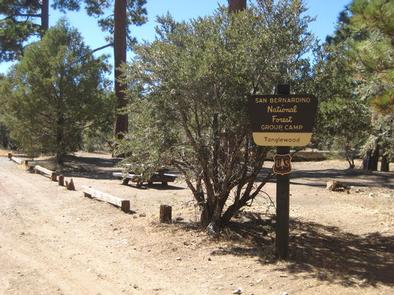
The Tanglewood Group Campground provides a picturesque spot for an extended family or large group getaway. It is nestled in the pine-covered mountains of Southern California, providing a variety of recreational opportunities for visitors of any age.
Recreation
A variety of hiking, mountain biking and off-road vehicle trails are nearby, including the scenic Gold Fever Trail. Climbing is also a popular activity.
Fishing and boating in the nearby Big Bear Lake are also popular activities enjoyed by visitors to the campground. Anglers can look forward to a catch of trout, bluegill, crappie, catfish and largemouth bass, among other fish. Because of cold water temperatures and the presence of underwater obstacles near the shorelines, swimming at the lake is somewhat discouraged, unless done in designated areas.
Facilities
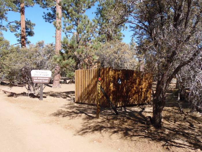
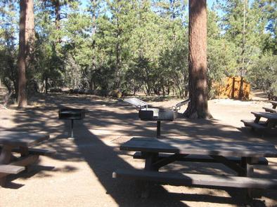
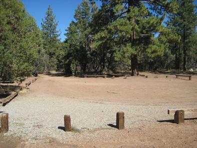
The campground offers one large-group campsite, available for tent and RV camping. It can accommodate up to 40 people and eight vehicles. The access road to the campground is dirt and gravel.
The campsite is equipped with multiple tables, a campfire circle and grills. Vault toilets are provided, but drinking water is not available and there are no trash collection services at the campground.
Natural Features
The campground is located northeast of Big Bear Lake at an elevation of 7,542 feet. It is situated in a dense pine forest along the Gold Fever Auto Tour Trail, which provides a variety of interpretive sites that highlight the rich gold mining history of the area.
Nearby Attractions
A general store and restaurants are available about eight miles southwest of the campground in Fawnskin. The closest available showers are at Serrano Campground, east of Fawnskin.