
Directions
From Idyllwild, California, travel north on Highway 243 about 9 miles. Take a sharp right turn onto Black Mountain Trail/Forest Route 4S01 and continue just over 2 miles. Forest Route 4S01 turns slightly left and becomes Black Mountain Truck Trail, which leads to the campground.
Phone
909-382-2922
Activities
CLIMBING, CAMPING, FISHING, HIKING, PICNICKING, FIRE LOOKOUTS/CABINS OVERNIGHT
Keywords
BLAM,BLACK MOUNTAIN SanBernardino,SAN BERNARDINO NF – FS
Related Link(s)
California State Road Conditions
Overview
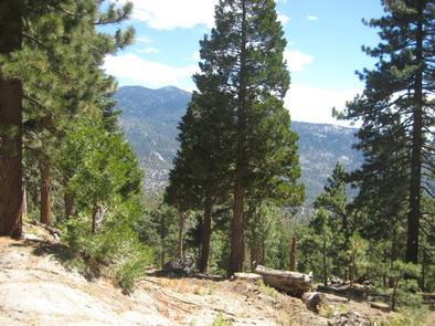
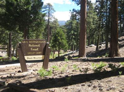
The Black Mountain Group Campground provides a picturesque camping location for large groups. Views from the campground encompass the desert divide, San Jacinto Mountains and, on a clear day, as far north as the San Gabriel Mountains.
The surrounding area provides a variety of outdoor recreation opportunities, including hiking, climbing, fishing, biking and wilderness exploration.
Recreation
The Fuller Ridge Trail, which serves as part of the famous Pacific Crest Trail, is located just steps away from the campground. Starting at 7,600 feet, the trail follows the high, timbered ridge above Snow Creek, offering spectacular views of the desert. From there, it joins Deer Springs Trail and a strenuous climb to San Jacinto Peak, at 10,804 feet in elevation.
Facilities
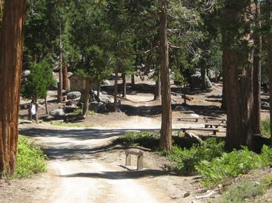
The campground provides one large group campsite that can accommodate up to 100 guests for tent camping. A parking area can accommodate up to 50 vehicles, but rough roads to the site are not recommended for trailers of any kind.
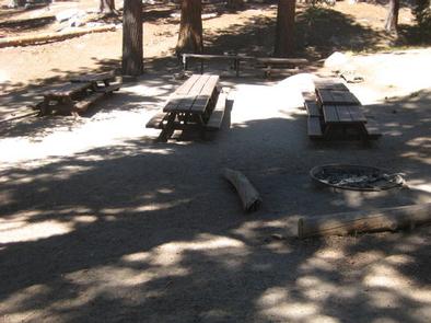
The site is equipped with multiple tables and campfire circles with grills. Vault toilets are provided. Drinking water is not available in the campground, but can be found at the Cinco Posa Spring tap, along Black Mountain Road, about two miles from the campground.
Natural Features
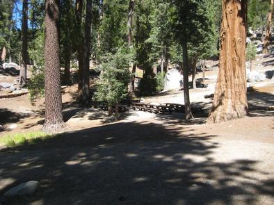
The campground is located in a heavily forested area of the mountains in southern California at an elevation of about 7,500 feet. The roads to and within the campground are not paved and much of the area is part of classified wilderness area.
Nearby Attractions
This group site is located approximately 50 miles southeast of San Bernardino, California, and 16 miles north of the small town of Idyllwild, which offers locally owned shops and restaurants.