
Directions
From Ventura, take Highway 33 north about 14 miles. Turn left, continuing on Highway 33 for another 8 miles to the campground.
From Los Angeles, take I-5 north, then turn west onto Highway 126 for about 28 miles, to Santa Paula. Continue north on Highway 150 for 16 miles. Turn left onto Highway 33 and continue north approximately 8 miles to the campground.
Phone
805-434-1996
Activities
BIKING, CAMPING, FISHING, HIKING, SWIMMING SITE
Keywords
WHEE,OJAI,LOS PADRES NF -FS
Related Link(s)
California State Road Conditions
Overview
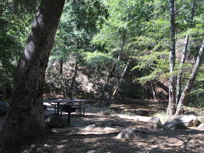
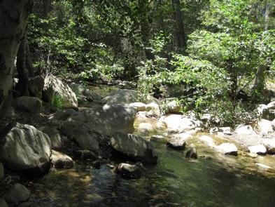
Wheeler Gorge Campground is a great place for families to explore the Los Padres National Forest all year long. Informative tours of the area are led by forest rangers at the nearby visitor center. The campground provides scenic views of a nearby stream, as well as vast mountain vistas.
Recreation
The Wheeler Gorge Nature Trail begins at the upper end of the campground. It is a relatively short loop that leads through thick vegetation along the creek banks and to a hillside view of the area. Wildflowers often bloom along the path.
The creek flows near some of the campsites and a small swimming hole is frequented near the side of the highway. Fishing is rough in the area and may produce a catch of trout, but the stream is not stocked. Kayaking or canoeing in the creek is not recommended.
Educational programs, including ranger-led hikes, are offered year-round.
Facilities
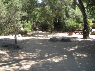
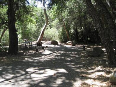
The campground is open year-round and offers dozens of single-family sites for tent or RV camping. Some sites are available on a first-come, first-served basis. Parking spurs are paved and vary in length, accommodating RVs up to 35 feet.
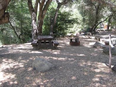
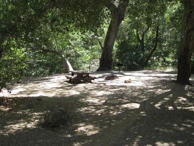
Each site is equipped with a table and campfire ring with grill. Accessible vault toilets are provided, but drinking water is not available. Visitors must bring their own water, and remove their trash from the campground.
Natural Features
The campground is adjacent to Matilija Creek, and is bordered by a mixed forest of oak and sycamore trees and evergreen shrubbery. Most sites are shaded and summer temperatures reach up to 95 degrees.
The campground was originally built by Boy Scouts nearly a century ago, as well as a historical stone home that is also on-site.
Nearby Attractions
Ventura and the Pacific Ocean are about 20 miles south of the campground.