
Directions
From Pioneer, CA, take State Route 88 east 36.6 miles to campground on right.
Phone
209-258-2287
Activities
CAMPING, FISHING, HIKING, SWIMMING SITE
Keywords
SILE,SILVER LAKE EAST ELDORADO,ELDORADO NF – FS
Related Link(s)
California State Road Conditions
Overview
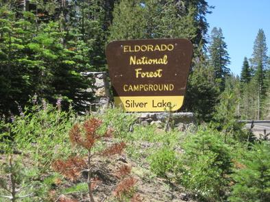
Silver Lake East is located 50 miles east of Jackson, California, just a short distance from the shores of Silver lake, where activities like boating, fishing, swimming and hiking, provide campers with the perfect outdoors retreat. Numerous trails leaving the campground connect with the lake and swimming beaches. Silver Lake West is adjacent to Silver Lake East on the other side of Highway 88, and offers additional trails and access to the Silver Fork of the American River.
Recreation
Because the campground is already at such a high elevation, hiking is particularly popular, allowing visitors to access high alpine lakes and other destinations through short but spectacular hikes. In addition to the trails which connect this campground to Silver Lake and other swimming areas, the Granite Lake Trail, which gives way to the Hidden Lake Trail, begins on the east shore of Silver Lake at the Minkalo TH. The trail ascends and crosses Squaw Creek on a wooden bridge. Approximately one-half mile beyond the bridge is a junction. The right fork will take you to Plasse’s and the left fork will take you to Granite Lake. At the southeast end of the lake you will find the trail to Hidden Lake. Anglers will be happy to know that Silver Lake boasts stocked populations of Rainbow, German Brown and Mackinaw trout.
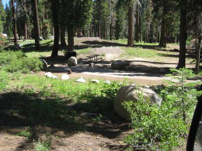
Facilities
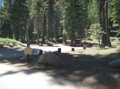
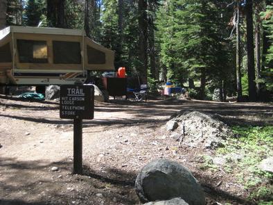
Vault toilets, drinking water, campfire rings and picnic tables are provided. Some sites have bear-proof food storage containers as well.
Single units are limited to a maximum of 2 vehicles and 6 people. A pay phone, restaurant, boat rentals and boat ramp are located at a nearby lodge.
Natural Features
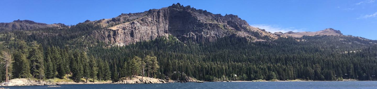
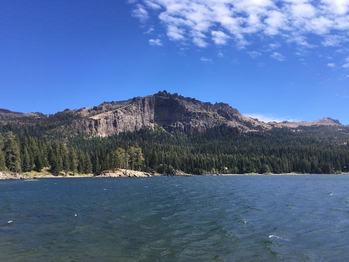
The campground is situated at the base of Thunder Mountain at an elevation of 7,200 feet, on the north end of beautiful Silver Lake. A small pond in the middle of the campground attracts ducks, but cannot be seen from any of the camp sites. Silver Lake spans 200 acres in a large granite basin surrounded by a forest of mixed conifers. The lake’s mirror-like waters are known to reflect the colors of the sky above, attracting both hikers and photographers to its scenic shores. The Silver Lake area blooms with bright wildflowers in the summer months, delighting visitors with their presence around the lakes and high in the mountain meadows.
Nearby Attractions
Take a scenic drive on Carson Pass Highway, which runs past Silver Lake along the mountains and crosses the picturesque Carson Pass. It is a must-do activity for those who love mountain views and landscape photography.
The campground is an easy drive south of Lake Tahoe, the popular lake and ski area.