
Directions
From Highway 395, turn west on Crocker Street in Big Pine, the continue west up Big Pine Canyon Road for 10 miles to end of road. Turn left crossing Big Pine Creek and left again past Glacier Lodge for 100 yards.
Phone
760-935-4339
Activities
CAMPING
Keywords
BPCC,BIG PINE CAMPGROUND,INYO NF – FS
Related Link(s)
California State Road Conditions
Overview
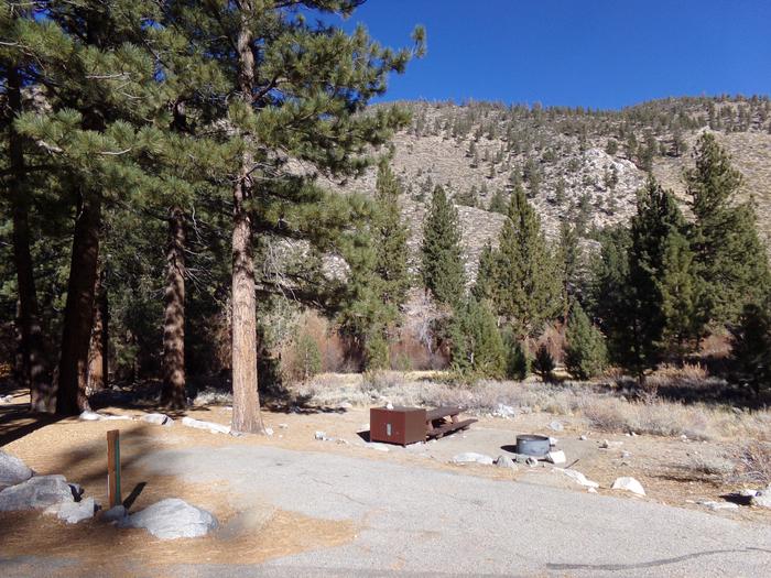
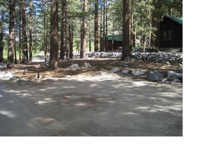
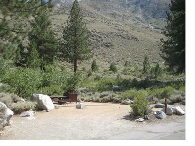
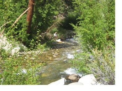
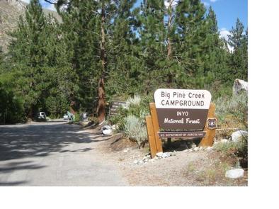
Big Pine Creek Campground, surrounded by sprawling meadows and towering trees, is perfectly situated in the scenic Big Pine Canyon. Campsites are perched along the cool, fish-filled waters of Big Pine Creek. Big Pine Canyon is heralded for having both the largest and southern most glaciers in the Sierra Nevada mountains. The campground sits at 7,700 feet elevation among vegetation like Jeffrey pine, sagebrush, aspen and cottonwood trees.
Recreation
The creek and nearby Big Pine Lakes are great for fishing. Both water spots have rainbow, brown and brook trout.
The North Fork Trail gives hikers access to Big Pine Lakes and the Palisade Glacier. The trail climbs past waterfalls and zigzags through Jeffrey pine, manzanita and sage before it reaches Big Pine Lakes.
Facilities
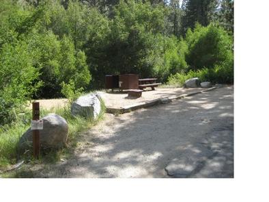
This is a family-friendly and pet-friendly campground. Some campsites boast creek-front access, and each site accommodates a maximum of six campers. Vault toilets are provided for basic conveniences. Firewood is sold on-site.
Natural Features
Big Pine Canyon is heralded for having both the largest and southern most glaciers in the Sierra Nevada mountains. Palisade Glacier, the largest, sits above Big Pine Lakes. These impressive glacial lakes at around 10,000 feet elevation are the source of the North Fork of Big Pine Creek. The South Fork is bordered by the Palisade Crest with peaks over 14,000 feet and Middle Palisade Glacier, the southernmost glacier.
Nearby Attractions
Glaciers in the nearby John Muir Wilderness make an exciting hiking destination. A commercial pack station is within close proximity for horse enthusiasts looking for an outdoor adventure. A general store, pay showers and pond fishing can be found at a nearby resort.