Directions
Take U.S. Highway 160 west from Durango, Colorado to the intersection of State Highway 184 in Mancos, a distance of about 27 miles. Turn right and take State Highway 184 north from Mancos for 1/4 mile, then turn right on County Road 42 to the intersection of County Rd. N, a distance of about 5 miles. Turn left on County Road N for 1/4 mile to the Mancos State Park entrance.
Phone
970-882-2213 or 970-946-0461
Activities
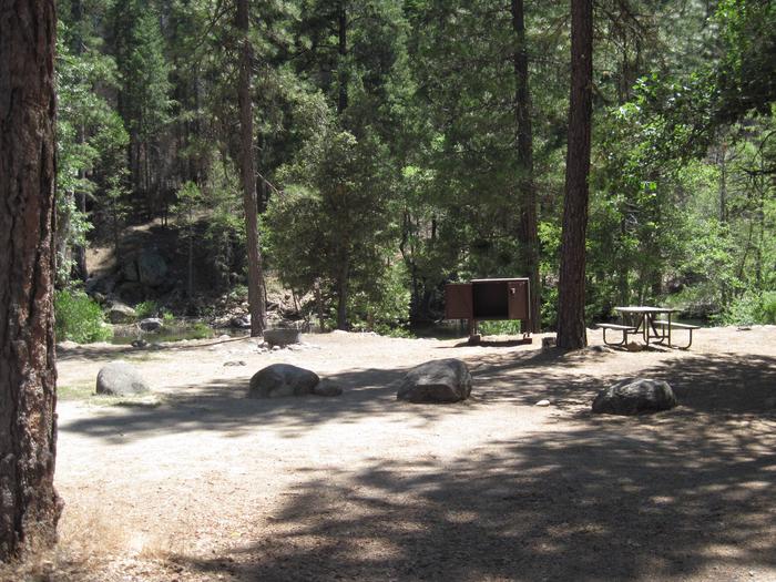
BIKING, BOATING, CAMPING, INTERPRETIVE PROGRAMS, FISHING, HIKING, HUNTING, PICNICKING, WINTER SPORTS, RECREATIONAL VEHICLES, WATER SPORTS, HOTEL/LODGE/RESORT FS OWNED, ENVIRONMENTAL EDUCATION
Camping Reservations
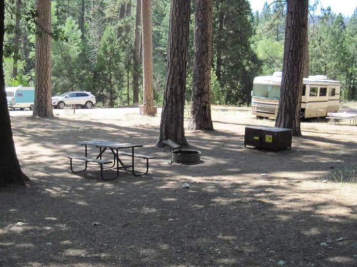
Reserve your campsite at these camping areas:
Hiking Trails
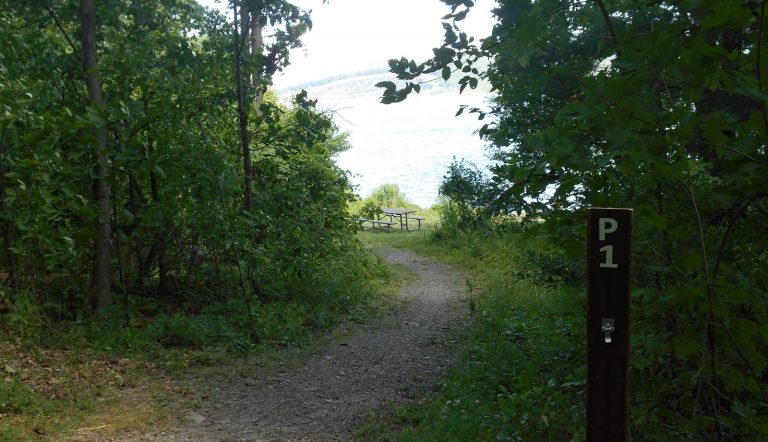
Looking for nice hiking areas to take a hike? Choose from these scenic hiking trails:
Related Link(s)
More Colorado Recreation Areas
Recreation at Jackson Gulch Reservoir (Mancos State Park) is managed by the Colorado Division of Parks and Outdoor Recreation under agreement with the Bureau of Reclamation, Western Colorado Area Office – Southern Division, Durango, Colorado. Jackson Gulch Dam was completed in 1950 and is the principal feature of the Mancos Project in southwestern Colorado. An inlet canal from the West Mancos River feeds the small reservoir which is an off-stream storage impoundment with 4 miles of shoreline. The reservoir is located 5 miles north of Mancos, Colorado, and 10 miles from Mesa Verde National Park, a World Heritage Site. The reservoir provides important recreation, fish and wildlife benefits; it has about 36,000 visitors per year. The average elevation is about 7,800 feet above sea level. Call 1-800-678-2267 for camping reservations.