

Directions
From The Dalles, 25 miles east on I-84.
Phone
(541) 506-4807
Activities
BOATING, CAMPING, FISHING, HIKING, PICNICKING, WATER SPORTS, WILDLIFE VIEWING, PLAYGROUND PARK SPECIALIZED SPORT SITE, OTHER RECREATION CONCESSION SITE
Camping Reservations
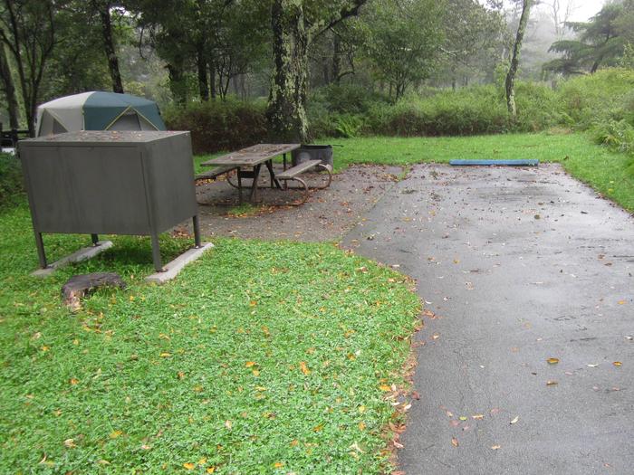
Reserve your campsite at these camping areas:
Hiking Trails
Looking for nice hiking areas to take a hike? Choose from these scenic hiking trails:
Related Link(s)
John Day Lock and Dam, Lake Umatilla Map
John Day Lock and Dam, Lake Umatilla Website
John Day Lock and Dam, Lake Umatilla Photo Album
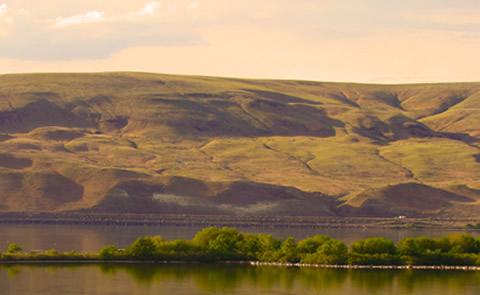
John Day Dam is 216 miles upstream from the mouth of the Columbia River and located at Exit 109 off Interstate 84 in Oregon. The project consists of a navigation lock, spillway, smolt monitoring facility, powerhouse and fish-passage facilities on both shores. Many recreation opportunities are available along the shores of Lake Umatilla and on the John Day River, such as boating, fishing, swimming and sail boarding.