Directions
To Refuge Headquarters: Take Highway 86 (Ajo Way) west from Tucson to Three Points. Turn south on Highway 286. Proceed south for 35 miles to mile post 7.5. Turn east and follow signs to Refuge Headquarters.
To Trailheads near Arivaca: Take I-19 south from Tucson to the Amado/Arivaca exit. Exit west, turn right at the T, and then left at the Cow Palace onto Arivaca Road. Proceed west for 20 miles to Arivaca. Trails are located both east and west of town.
Phone
520-823-4247
Activities
AUTO TOURING, INTERPRETIVE PROGRAMS, HIKING, HUNTING, WILDLIFE VIEWING
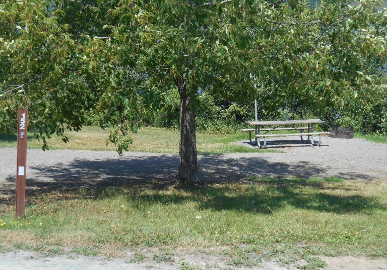
Camping Reservations
Reserve your campsite at these camping areas:
Hiking Trails
Looking for nice hiking areas to take a hike? Choose from these scenic hiking trails:
Related Link(s)
Buenos Aires National Wildlife Refuge
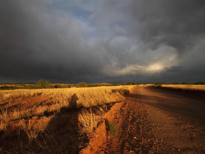
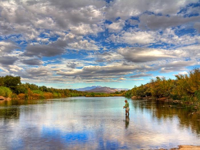
Buenos Aires National Wildlife Refuge is a place where you can enjoy a landscape like few others – where sparrows flock in winter, antelope play, and the valley bottom is once again the sea of grass that greeted early settlers. Additions to the refuge since 1985 protect valuable wetland and riparian habitats at Arivaca Creek, Arivaca Cienega, and Brown Canyon. This combination of grasslands, wetlands, cottonwood-lined streambeds, and sycamore and live oak mountain canyons preserve some of the southwest’s rarest habitats used by seven endangered species, ten species of concern, and many other native pants and wildlife.


