Directions
Mason Neck NWR is located about 18 miles south of Washington D.C. From the north: take I-95 south to exit 163 (Lorton). Turn left on Lorton, right on Armistead Rd, and then right (south) on RT 1. Go to light at top of the hill and turn left on Gunston Rd. (242) and go about 4 miles. The refuge shares a common entrance (High Pt. rd.) with the Mason Neck State Park. From the south: take I-95 north to exit 161 (Rt 1, Ft. Belvoir), go north on Rt 1, turn right on Gunston rd, go about 4 miles to refuge entrance.
Phone
703-490-4979
Activities
INTERPRETIVE PROGRAMS, HIKING, HUNTING, WILDLIFE VIEWING
Camping Reservations
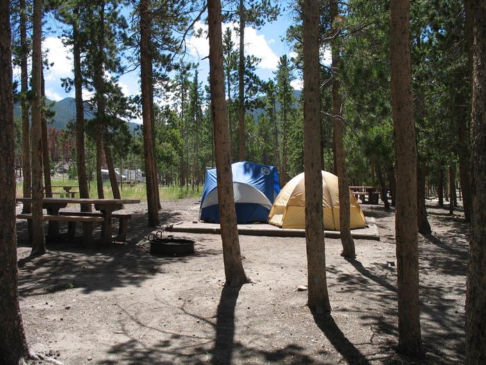
Reserve your campsite at these camping areas:
Hiking Trails
Looking for nice hiking areas to take a hike? Choose from these scenic hiking trails:
Related Link(s)
More Virginia Recreation Areas
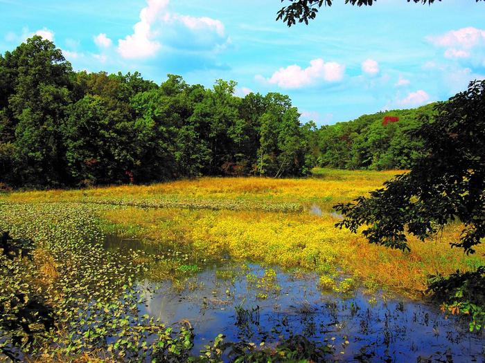
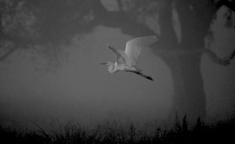
Mason Neck NWR was established in 1969 for the protection of nesting, feeding, and roosting habitat for the Bald eagles. It was the first federal refuge established specifically for the (then endangered) Bald eagle. The refuge is part of the Potomac River NWR Complex. The refuge, situated along the Potomac River on the Mason Neck peninsula, consists of 2277 acres of oak-hickory forest, freshwater marshes, and has 4.4 miles of shoreline. The refuge has the largest fresh water marsh in Northern Virginia, the largest Great Blue heron rookery in the Mid-Atlantic region (over 1400 nests), is a designated RAMSAR site, and hosts over 200 species of birds, 31 species of mammals, and 44 species of reptiles and amphibians. Eagles use the mature forests for shelter and nesting sites and the marshes, bays, and river for foraging and hunting. The refuge was listed as one of the top ten sites in the country for viewing Bald eagles.


