Directions
The park is located in Southeast Wyoming approximately 100 miles north of Cheyenne, Wyoming and 55 miles west of Scottsbluff, Nebraska. From Interstate-25, take exit 92 to U.S. Highway 26, proceed east to the town of Fort Laramie; turn right on State Route 160 and travel 3 miles to the park entrance.
Phone
(307) 837-2221
Activities
HISTORIC & CULTURAL SITE
Camping Reservations
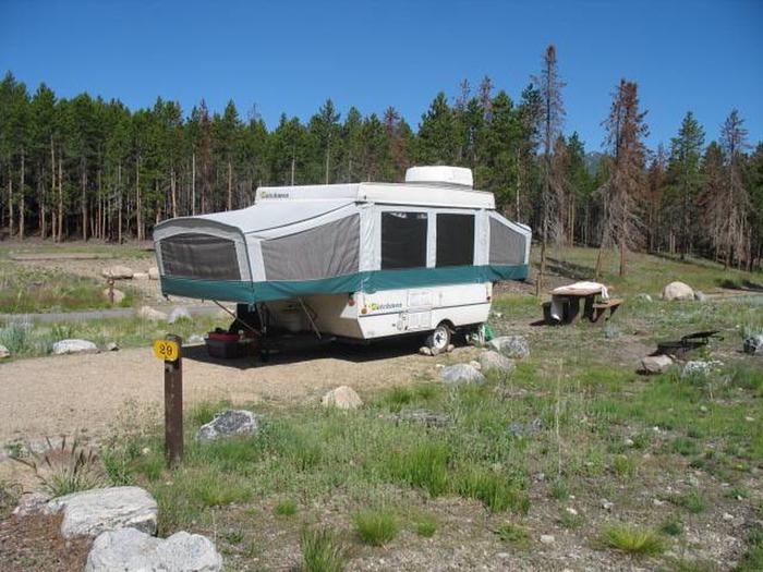
Reserve your campsite at these camping areas:
Hiking Trails
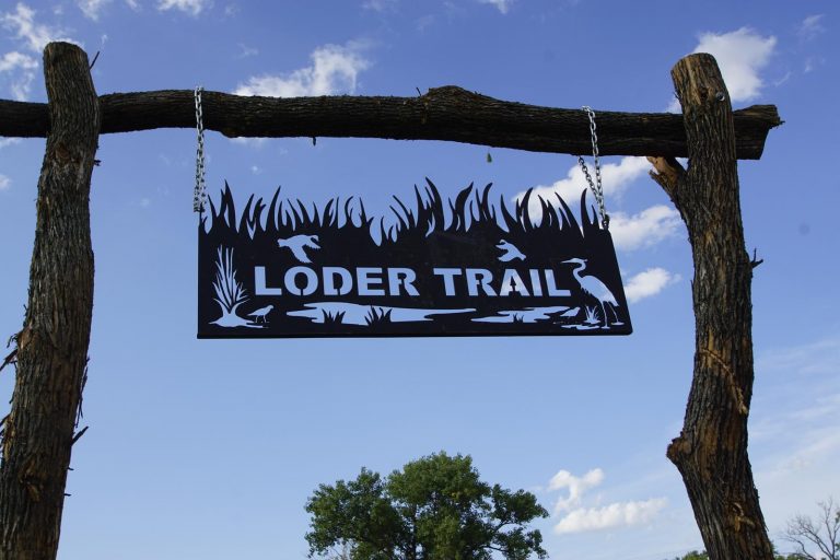
Looking for nice hiking areas to take a hike? Choose from these scenic hiking trails:
Related Link(s)
Fort Laramie National Historic Site Official Website
Fort Laramie National Historic Site Map
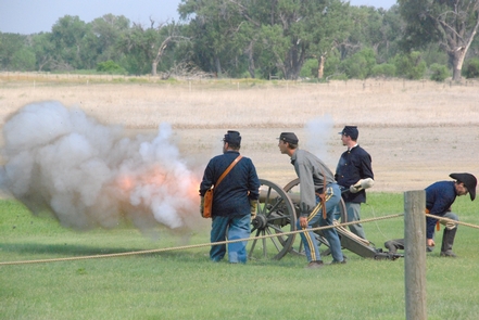
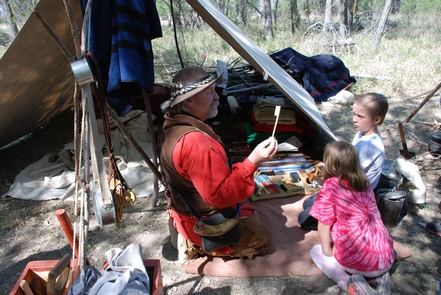
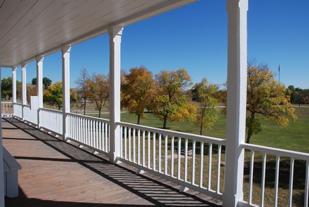
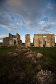
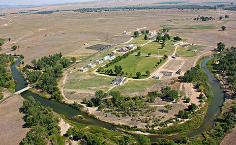
Originally established as a private fur trading fort in 1834, Fort Laramie evolved into the largest and best known military post on the Northern Plains before its abandonment in 1890. This grand old post witnessed the entire sweeping saga of America™s western expansion and Indian resistance to encroachment on their territories.

