Directions
The park is conveniently located off of U.S. Route 422. The main entrance to the park is at the intersection of State Route 23 and North Gulph Road. From the Pennsylvania Turnpike, take Exit 326. From Interstate I-76, take Route 422 West to Route 23 West/Valley Forge. From State Route 252, take State Route 23 East.
Phone
(610) 783-1000
Activities
BIKING, HISTORIC & CULTURAL SITE, HIKING, WILDLIFE VIEWING
Camping Reservations
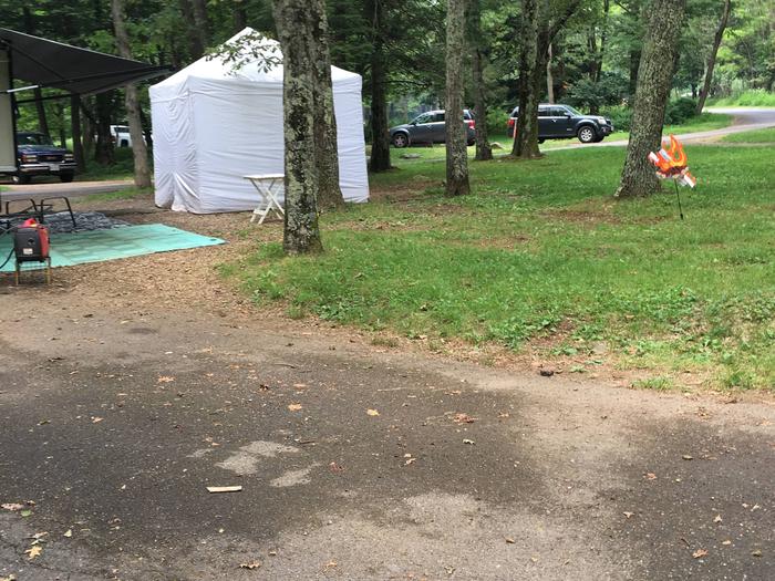
Reserve your campsite at these camping areas:
Hiking Trails
Looking for nice hiking areas to take a hike? Choose from these scenic hiking trails:
Related Link(s)
More Pennsylvania Recreation Areas
Valley Forge National Historical Park Official Website
Valley Forge National Historical Park Map
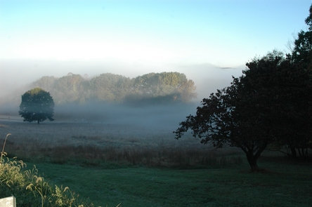
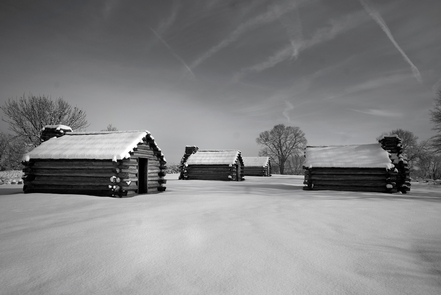
Valley Forge was the site of the 1777-78 winter encampment of the Continental Army. The 3,500-acres of monuments, meadows, and woodlands commemorate the sacrifices and perseverance of the Revolutionary War generation. The park honors and celebrates the ability of citizens to pull together and overcome adversity during extraordinary times.


