
Directions
Directions to the Natchez Trace National Scenic Trail vary greatly depending on what section you are trying to reach. For specific questions concerning how to get to a certain section or trail head of the National Scenic Trail, please call the Visitor Center at 1-800-305-7417.
Phone
+1 (800) 305-7417
Activities
HIKING, HORSEBACK RIDING
Camping Reservations
Reserve your campsite at these camping areas:
Hiking Trails
Looking for nice hiking areas to take a hike? Choose from these scenic hiking trails:
Related Link(s)
More Mississippi Recreation Areas
Natchez Trace National Scenic Trail Official Website
Natchez Trace National Scenic Trail Map
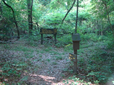
The 450-mile foot trail that became known as the Natchez Trace was the lifeline through the Old Southwest. You can experience portions of that journey the way earlier travelers did – on foot. Today there are five separate trails totaling over 60 miles and they are administered by the Natchez Trace Parkway.