Directions
From I-10 (27 miles east of Lordsburg and 32 miles west of Deming), take exit 49 to NM 146 and drive south about 19 miles to NM 9 at Hachita, NM. Drive east approximately 7ј miles on NM 9 then turn left onto County Rd 001 (unmarked), heading northeast. Drive for about 3ѕ miles to the perimeter of private land and park. Avoiding entering private land, hike about 2 ј miles first east and then northeast to reach the southwestern border of the WSA.
Phone
575-525-4300
Activities
HIKING
Camping Reservations
Reserve your campsite at these camping areas:
Hiking Trails
Looking for nice hiking areas to take a hike? Choose from these scenic hiking trails:
Related Link(s)
More New Mexico Recreation Areas
BLM New Mexico YouTube Channel
BLM New Mexico YouTube Channel
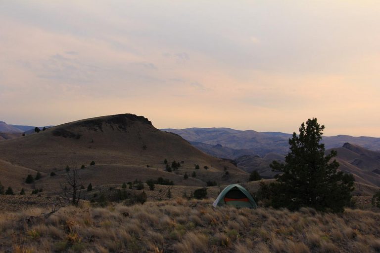
The Cedar Mountains WSA is located in southwestern New Mexico. The area is characterized by a southeast trending ridge with scattered peaks and rolling hills. Vegetation consists of mixed mountain shrubs, creosote bush, and tobosa. The area provides habitat for mule deer and javelina.


