Directions
Access is from Highway 380, 4.5 miles west of Carrizozo. There are several pullouts on U.S. 380 from which you may hike northeast onto the lava flow.
Phone
575-627-0272
Activities
HIKING
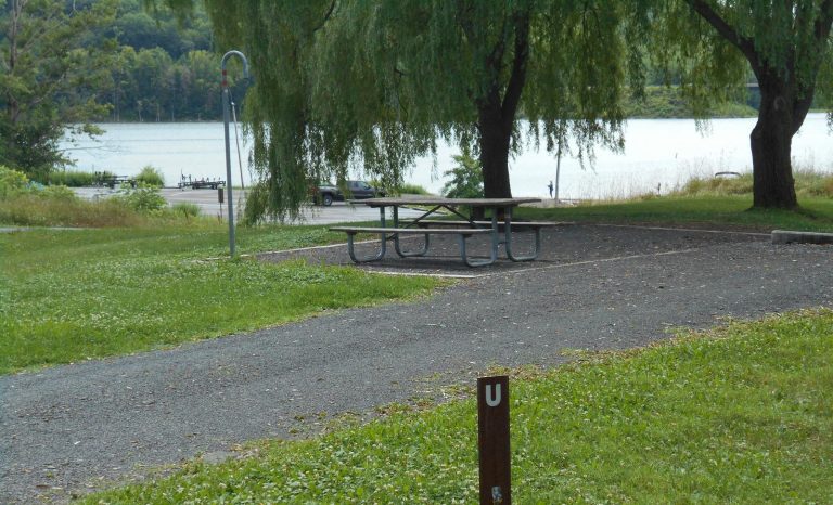
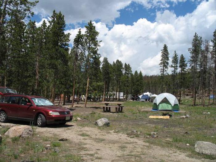
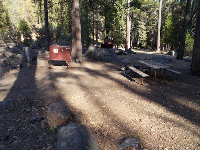
Camping Reservations
Reserve your campsite at these camping areas:
Hiking Trails
Looking for nice hiking areas to take a hike? Choose from these scenic hiking trails:
Related Link(s)
More New Mexico Recreation Areas
BLM New Mexico YouTube Channel
BLM New Mexico YouTube Channel
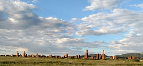
The Little Black Peak WSA is located in the central part of New Mexico. At 5,676 feet, Little Black Peak, the primary source of the surrounding lava flow, is the only feature rising significantly above the surrounding flat plain. It is a rugged landscape of lava approximately 5,000 years old. The lava is broken by fissures and jumbled outcrops, and includes an occasional lava tube. Sparse desert shrubs and grasses grow in the cracks, providing an interesting contrast of green against the black lava. The area supports a remarkably diverse ecosystem, including some species that have developed darker skin coloration to match the rock. Hiking onto the lava flow is extremely rugged. You must be well prepared with appropriate footwear and other outdoor gear.