Directions
Approximately 35 miles east of Salt Lake City. and 10 miles east of Park City.
Hailstone Main Entrance: Take I-80 east to U.S. 40 south, then take the Mayflower exit (#8)
Rock Cliff: Take I-80 east to U.S 40. south, at the traffic light turn left to S.R. 32 east, travel about 7.5 miles then left on Rock Cliff Road. Make a reservation on the Utah State Parks reservation site.
Phone
435-649-9540
Activities
BIKING, BOATING, CAMPING, FISHING, HIKING, PICNICKING, RECREATIONAL VEHICLES, WATER SPORTS, WILDLIFE VIEWING, DAY USE AREA, OTHER RECREATION CONCESSION SITE, PHOTOGRAPHY, PADDLING, SWIMMING, DIVING
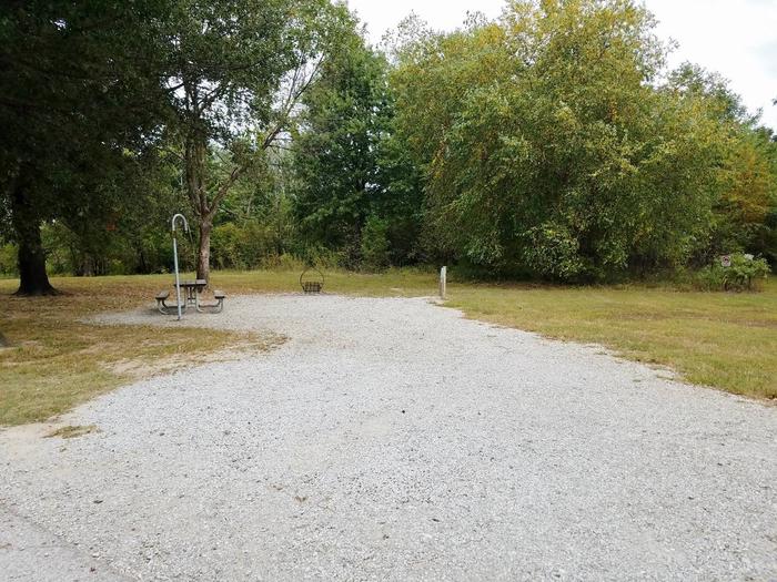
Camping Reservations
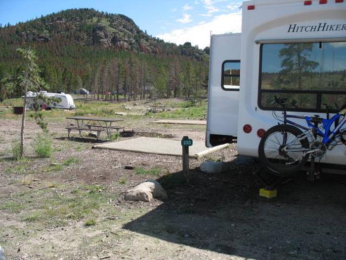
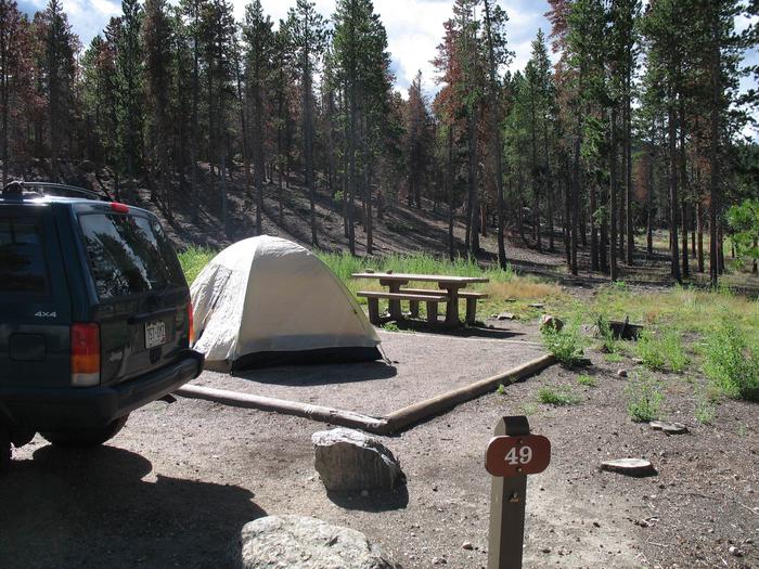
Reserve your campsite at these camping areas:
Hiking Trails
Looking for nice hiking areas to take a hike? Choose from these scenic hiking trails:
Related Link(s)
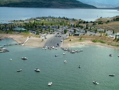
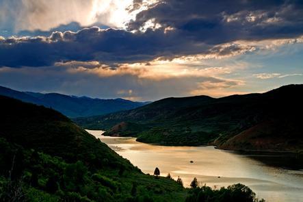
Nestled in the rolling mountains north of Heber City, Utah sits the beautiful Jordanelle Reservoir, fed by the Provo River and impounded by the Jordanelle Dam. Its two distinct recreation areas, Hailstone and Rock Cliff, offer a variety of recreation opportunities. Spend a day or weekend picnicking, camping, boating, or hiking. Hailstone is the main entrance but Rock Cliff offers a quieter side of the lake.
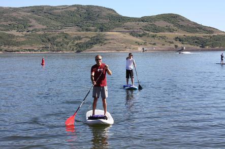
The large wake-free zone at the Hailstone Recreation Area of Jordanelle State Park is the ideal spot to learn stand up paddleboarding. Rentals are available. If paddling at Jordanelle isn™t enough you can also hit the nonmotorized Perimeter Trail on foot or mountain bike.
Jordanelle State Park is a water recreation mecca positioned between three of Utah’s premier mountain experiences: the Mirror Lake Scenic Byway into the Uinta Mountains, Park City, and Heber Valley’s ATV, golf and Blue-Ribbon fly-fishing on the Middle Provo River. Make a reservation on the Utah State Parks reservation site.