
Directions
From the town of Superior, take AZ 177 south for 15.2 miles (MP 152.1) and then turn south onto Florence-Kelvin Highway (next to RR crossing) for 1.2 miles through the community of Kelvin and cross the Kelvin Bridge. The passage begins on the south side of the bridge along Centurion Road. There is a large parking area at the junction of Riverside Rd. and Florence-Kelvin Highway; just across the road from the trailhead. The BLM has constructed a trailhead at the end of Centurion Road. This provides easy access to the Arizona Trail and an increasingly popular segment of this scenic trail along the Gila River.
Phone
(520) 258-7200
Activities
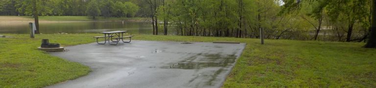
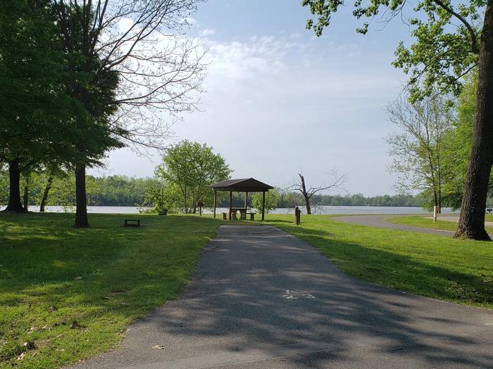
CAMPING, HIKING, WILDLIFE VIEWING, PHOTOGRAPHY
Camping Reservations
Reserve your campsite at these camping areas:
Hiking Trails
Looking for nice hiking areas to take a hike? Choose from these scenic hiking trails:
Related Link(s)
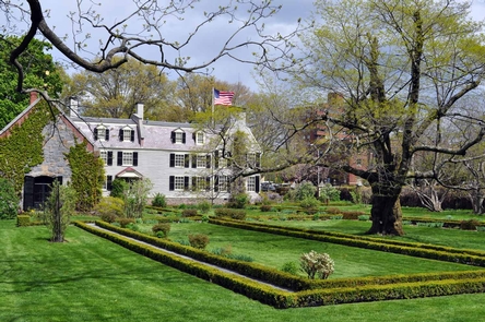
The Arizona National Scenic Trail traverses Arizona from Mexico to Utah, covering over 800 miles. This multi-use non-motorized, long distance trail highlights the state’s topographic, biologic, historic and cultural diversity. The Arizona National Scenic Trail, designated in 2009 as part of the Omnibus Public Lands Bill, was the vision of Dale Shewalter, a school teacher from Flagstaff, Arizona. Features along the trail include historic sites, diverse natural features and geologic wonders, and remote wilderness areas. The Tucson Field Office administers 34 miles of trail through two passages, Passage 15 (Tortilla Mountains) and Passage 16 (Gila River Canyons). Most passages can be assessed by motorized vehicle at the beginning and end. Some areas require four-wheel drive vehicles to get to the access point. The Kelvin Bridge trailhead provides access to BLM lands for both passages. Passage 16 follows portions of the Gila River before traversing through the canyons. Opportunities include camping, hiking, wildlife viewing, photography, mountain biking (outside wilderness or other specially managed areas), horseback riding and backpacking. Fall, winter, and spring provide the best opportunities to hike the trail. There are no visitor facilities or services on the trail, however, nearby communities offer various services and facilities.