Directions
From Jacksonville Oregon: go east on E California St, becoming S Stage Rd for 3.4 miles, turning south/right on Griffin Creek Rd. Go 2.5 miles on Griffin Creek, turning east/left on Griffin Creek, which becomes Anderson Butte Rd. At 4.3 miles on Anderson Butte Rd, at the intersection of BLM Rd 38-2-26, access points begin for the Jack-Ash.
Grub Gulch Trailhead: proceed approximately 1.3 miles on 38-2-26 to the access point, located on the east side of 38-2-26, and about 1/4 of a mile up the road from the Grub Gulch Trailhead of the Sterling Mine Ditch Trail.
Griffin Gap, Greenstone, and Anderson Ridge Trailheads: proceed up the Anderson Butte Road to these locations, at approximately 1.5, 2.5, and 5.75 miles, respectively.
Phone
541-618-2200
Activities
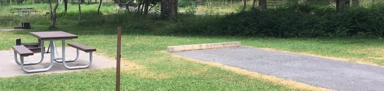
BIKING, HIKING, HORSEBACK RIDING, PHOTOGRAPHY
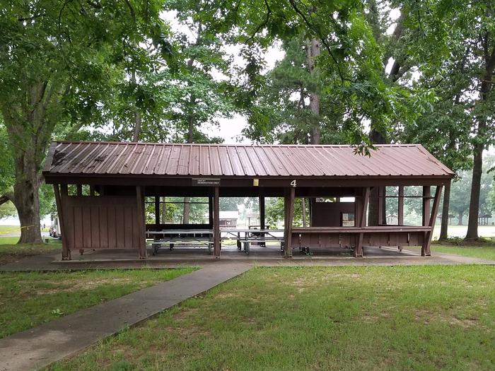
Camping Reservations
Reserve your campsite at these camping areas:
Hiking Trails
Looking for nice hiking areas to take a hike? Choose from these scenic hiking trails:
Related Link(s)
The Jack-Ash trail is named for a proposed connection between the cities of Jacksonville and Ashland Oregon. The current Phase 1 of the envisioned long distance non-motorized trail connects portions of the historic Sterling Mine Ditch Trail to existing roads and historic trails, and 4.7 miles of new trail construction up and over Anderson Butte. The trail offers a multitude of vistas and vegetation types for equestrian, mountain bikes, and hikers. The trail does utilize existing and historic sections of road along it’s path. Equestrian and bike users are reminded to avoid use after significant precipitation to prevent damage to the trail.