Directions
From the town of Carbondale take highway 133 south. At Price Creek Road intersection, turn left and drive along Prince Creek approximately 4.2 to the recreation area. There are several pull offs for parking. For non-motorized use the first parking lot with the kiosk. For mechanized please go to the upper parking lot which is about 2 miles from the lower access parking at the kiosk.
Phone
(970) 876-9000
Activities
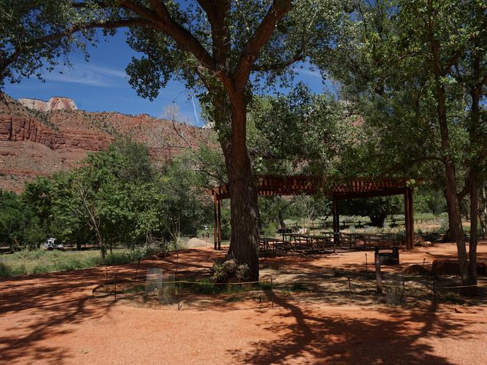
BIKING, CAMPING, HIKING
Camping Reservations
Reserve your campsite at these camping areas:
Hiking Trails
Looking for nice hiking areas to take a hike? Choose from these scenic hiking trails:
Related Link(s)
More Colorado Recreation Areas
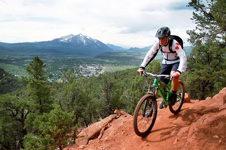
The Crown Special Recreation Management Area near Carbondale is managed primarily for mountain biking but has trails open to hikers, equestrians, and motorized use. It has been popular for many years because of a dense trail network in the Prince Creek drainage. The Crown offers spectacular views of Mount Sopris and the Roaring Fork Valley. The Crown is closed from December 1 to April 15, except a mountain bike trail paralleling Prince Creek Road (CTY Rd 5). For more information, please contact the Colorado River Valley Field Office.