
Directions
From the South: Take I-90 to I-290 north to I-190. Follow the signs to Niagara Falls. From Canada: Cross the Niagara River on either Ontario Provincial Highway 420 in Niagara Falls, Ontario, or Provincial Highway 405 north of Niagara Falls, Ontario.
Phone
(716) 286-8579
Camping Reservations
Reserve your campsite at these camping areas:
Hiking Trails
Looking for nice hiking areas to take a hike? Choose from these scenic hiking trails:
Related Link(s)
More New York Recreation Areas
Niagara Falls National Heritage Area Official Website
Niagara Falls National Heritage Area Map
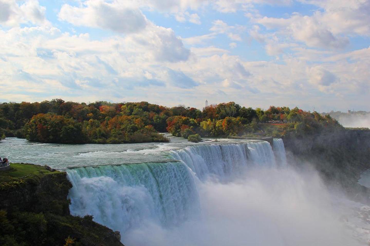
Designated by Congress in 2008, the Niagara Falls National Heritage Area stretches from the western boundary of Wheatfield, New York to the mouth of the Niagara River on Lake Ontario, including the communities of Niagara Falls, Youngstown, and Lewiston. The region is home to natural wonders, rich cultural traditions, and nationally significant historical sites.