
Directions
Big Bend National Park is located in West Texas, a considerable distance from cities and transportation hubs. While the isolation of Big Bend is a draw for many visitors, it also means your trip must be well prepared and carefully planned. There is no public transportation to, or in Big Bend National Park.
Several highways lead to Big Bend National Park: TX 118 from Alpine to Study Butte or FM 170 from Presidio to Study Butte (then 26 miles east to park headquarters) or US 90 or US 385 to Marathon (then 70 miles south to park headquarters).
Distances between towns and services are considerable. Be sure you have plenty of gas, oil, food, and water for your trip. The park has four camp stores, but supply and selection can be limited. There are also small stores in the communities outside the park. The last major shopping areas (grocery and hardware stores) are Alpine, Fort Stockton, and Del Rio.
Directions to Big Bend National Park
Phone
432-477-1158
Activities
BOATING, CAMPING, INTERPRETIVE PROGRAMS, HIKING, VISITOR CENTER, WILDLIFE VIEWING, KAYAKING, CANOEING, BIRDING, BACKPACKING
Keywords
Backcountry Sites,Primitive Sites
Related Link(s)
Overview
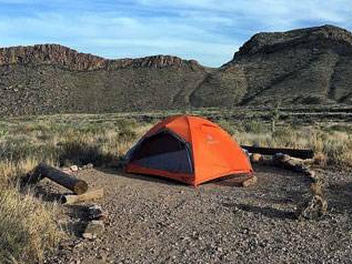
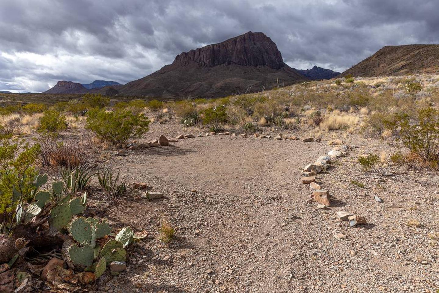
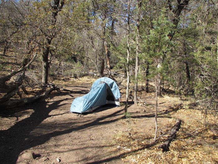
Big Bend’s vast undeveloped areas provide excellent opportunities for backcountry experiences if you seek solitude, wilderness, and adventure! The backcountry sites listed here are primitive backcountry road campsites and primitive backpacking sites in the Chisos Mountains. All are designated sites located in remote locations. Campers must be self-sufficient.
- These are NOT campgrounds. These are primitive sites and do not offer water, electricity, toilet access, or any amenities.
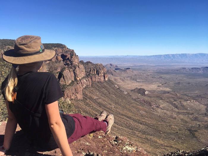
- Primitive Chisos campsites are BACKPACK-ONLY campsites with NO vehicle access. Campsites are from 1-6 miles from the trailhead. Parking for overnight backpackers is located in the large amphitheater lot adjacent to the Chisos Basin Campground.
- Most primitive roadside campsites require a high clearance vehicle, and 4-wheel drive is highly encouraged. Road conditions are ever-changing.
Recreation
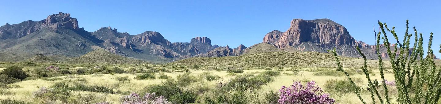
Splendid Isolation. Big Bend NP is beloved as one of the few large public land areas in Texas. Major activities include camping, backpacking, hiking, birdwatching, river trips, enjoying the spring bloom, and adventuring along backcountry roads. The spring months of March and April are the busiest, as well as the Thanksgiving and New Years holidays, although the park is open and visited year round.
Facilities
The primitive campsites listed here are NOT CAMPGROUNDS, and require extra trip planning. Please take the time to plan and carefully prepare your itinerary.
- Primitive Roadside Campsites: Primitive camping with your vehicle in designated campsites along rugged backcountry dirt roads .
- Backpacking Campsites: Primitive designated backpacking campsites located along the extensive Chisos Mountains Trails system .
Natural Features
From an elevation of less than 1,800 feet along the Rio Grande to nearly 8,000 feet in the Chisos Mountains, Big Bend includes massive canyons, vast desert expanses, forested mountains, and an ever-changing river. Here you can explore one of the last remaining wild corners of the United States