
Directions
From Fort Collins, take Highway 287 north approximately 24 miles to Livermore. Turn west on County Road 74 and continue 24 miles to the campground.
Phone
970-295-6700
Activities
BIKING, BOATING, CAMPING, FISHING, HIKING, WILDLIFE VIEWING, CANOEING
Keywords
WLCO,REDFEATHER LAKES,ARAPAHO AND ROOSEVELT NF – FS
Related Link(s)
Colorado State Road Conditions
Overview
West Lake Campground is located 48 miles northwest of Fort Collins, in north central Colorado, near the village of Red Feather Lakes. Visitors enjoy the area for its canoeing, fishing and trail opportunities.
Recreation
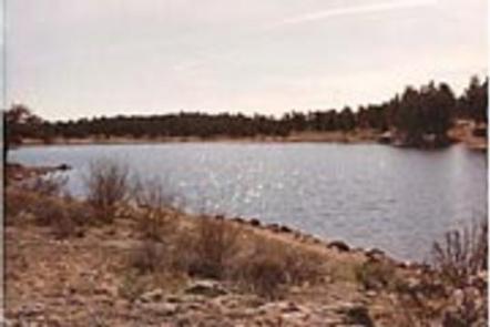
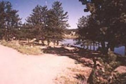
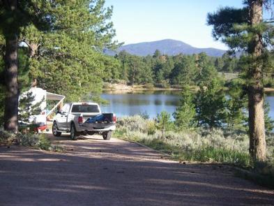
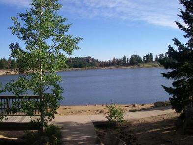
Canoeing and fishing are popular activities on the 25-acre, no-wake West Lake. Anglers cast for rainbow and lake trout. Several additional lakes are in the vicinity.
Many hiking, biking and horseback riding trails are in the surrounding area, including the 1.5-mile West Lake Trail and 4-mile Mount Margaret Trail. Several off-road vehicle trails are located within five miles of the campground.
Other popular activities include viewing wildlife and visiting nearby Redfeather Visitor Center.
Facilities
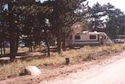
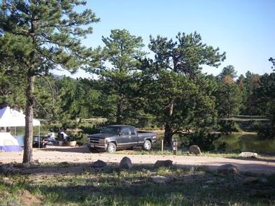
The campground offers 31 accessible single- and double-family campsites, with electric hookups. Five additional sites are designated for tent camping only and do not have hookups. Each site contains a tent pad, picnic table and campfire ring with grill.
Vault toilets and drinking water are provided. Firewood may be gathered in the forest or purchased from the campground host.
Natural Features
The campground is situated in a ponderosa pine forest, on the shore of West Lake, at an elevation of 8,200 feet. Afternoon thunderstorms can be expected during spring and summer months.
Due to the mountain pine beetle infestation and removal of hazardous trees, some sites have reduced shade.
Nearby Attractions
The small village of Red Feather Lakes is nearby, offering limited dining options, gift shops, general stores, a library, post office and golf course.