FERN BASIN, CA Campground Reservation, Info, Images, Map, Directions

FERN BASIN, California Campground Images, Info & Reservations

Directions

From Idyllwild, travel north on State Route 243 about 4 miles. Turn right at the campground sign and continue to Forest Service Road 4S02. Turn left and proceed less than a mile to an intersection. Continue straight on the Forest Service Road and turn left into the campground.

Phone

909-382-2922

Activities

CAMPING, FISHING, HIKING, HORSEBACK RIDING, MOUNTAIN BIKING, LOOKOUT TOWER

Keywords

FERN,SAN BERNARDINO NF – FS

Related Link(s)

Rec Area Info & Images

California State Road Conditions

California State Tourism

Overview

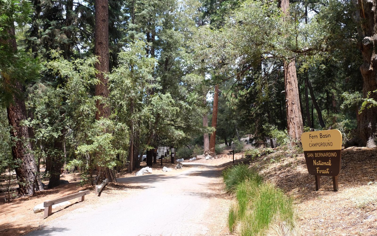
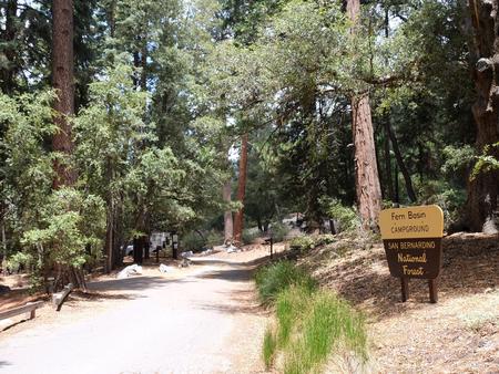
The picturesque Fern Basin Campground is a perfect escape from a busy lifestyle. It provides peace and quiet in the mountains of southern California as well as access to countless recreational opportunities.

Recreation

Visitors to the area enjoy hiking on the Marion Mountain Trail, which leads to San Jacinto Peak. Views from the peak extend to the ocean and across the Palm Desert, as well as the San Bernardino and San Gabriel mountains on a clear day. The 11.8-mile Marion Mountain Trail is the shortest route up the mountain, but is also quite strenuous in areas.

Facilities

The campground offers multiple single-family campsites for both tent and RV camping. Each site is equipped with tables and campfire rings with grills. Vault toilets are also provided.

Natural Features

The campground is located in a grove of mixed oaks and shrubs. A surrounding mixed conifer forest provides spotty shade for the campground. It is situated at an elevation of about 6,300 feet, in the mountains overlooking California’s desert.

Nearby Attractions

The campground is located approximately 50 miles southeast of San Bernardino, California, and about seven miles north of the small town of Idyllwild, which is known for its shops and restaurants.

Reservation

More from CampingHiking.net:

THREEMILE CAMPGROUND, Wyoming Campground Images, Info & Reservations

Directions From Cody, Wyo., follow Sheridan Avenue west through Cody until the road leaves town and becomes the Buffalo Bill Cody Scenic Byway (U.S. Highway 14/16/20). The campground is located almost 49 miles west of Cody, on the south side of U.S. Highway 14/16/20, next to the Shoshone River. Phone

COTTONWOOD GROUP, California Campground Images, Info & Reservations

Directions The address below is not the physical address of the campground. To get to the campground, take Interstate 10 to the Mecca/Twentynine Palms exit and follow signs to Joshua Tree National Park. The exit is 25 miles east of Indio, California. Phone 760-367-5554 Activities CAMPING, INTERPRETIVE PROGRAMS, HIKING, PICNICKING,

EUREKA, Kentucky Campground Images, Info & Reservations

Directions From Nashville, Tennessee take I-24 West to Exit 40. Turn left onto Highway 62 West for 2.9 miles then turn left onto Highway 810. Go 0.7 miles then turn right onto State Route 1271. Continue onto 1271 for 1.8 miles. The road leads directly into the campground. Phone 270-388-9459

SPRING CANYON GROUP SITE, Washington Campground Images, Info & Reservations

Directions Take Highway 2 west of Spokane for 65 miles to the town of Wilbur, Washington. Turn north on Highway 174 (follow road signs). Travel 19 miles and turn right at the sign for Spring Canyon Campground. Phone 509-754-7889 Activities BIKING, BOATING, HISTORIC & CULTURAL SITE, CAMPING, INTERPRETIVE PROGRAMS, FISHING,