
Directions
Take I-10 East to Redlands. Take the University Street exit, EXIT 80. Turn left (northbound) on University Street. Turn right onto E. Lugonia Avenue/SR-38. Continue on State Highway 38 for approximately 20 miles to the campground entrance.
Phone
909-866-8550
Activities
BIKING, CAMPING, INTERPRETIVE PROGRAMS, FISHING, HIKING, WILDLIFE VIEWING, DAY USE AREA
Keywords
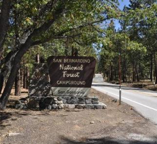
SANG,SAN BERNARDINO NF – FS
Related Link(s)
California State Road Conditions
Overview
The San Gorgonio Campground provides access to a variety of recreational opportunities, as well as a beautiful location in which to enjoy nature. Its proximity to scenic trails and nearby mountain lakes and streams make the campground a great place to bring the family to relax and get away from it all.
Recreation
The campground provides access to the famed Santa Ana River Trail, which when completed will run from the mountains all the way to the Pacific Ocean, providing spectacular views along the way. It is currently popular for hiking, biking and horseback riding.
The Rio Monte Trail is also accessed from the campground, taking hikers to the Rio Monte Panorama, which overlooks the deep gorge of the Santa Ana River Valley.
Visitors to the area also enjoy fishing in nearby mountain streams, as well as bird and wildlife viewing, as a variety of species make their home in the forest. A nearby amphitheater also provides weekend evening educational programs for the public during summer months.
Facilities
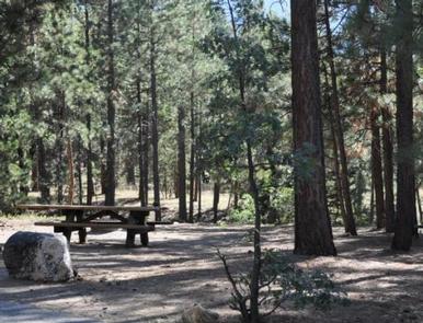
The campground offers dozens of single, double and accessible sites, available for tent and RV camping. Some sites are available on a first-come, first-served basis. Utility hookups are not available, however, the parking spurs are paved and provide a level surface. A dump station with potable water is available at a nearby campground.
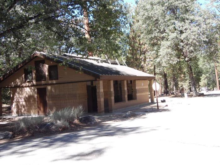
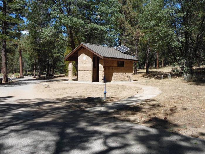
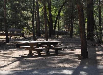
Each site is equipped with tables and campfire rings with grills. Accessible flush toilets, showers and drinking water are provided. A campground host is available on-site and firewood is available for purchase at the facility.
Natural Features
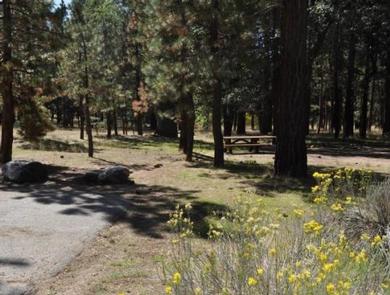
The campground is located about 36 miles northeast of San Bernardino, at an elevation of 6,600 feet. It is situated in a mixed forest of oak and mature pine trees.
The campground is composed of two loops, one loop has sites that are closer together, providing less privacy than the other. Both loops are relatively shaded by Black oak, Jeffrey and Ponderosa pine.
Nearby Attractions
The Big Bear Lake and its adjoining town are located approximately 25 miles from the campground, offering a variety of water-related recreation opportunities, as well as golf, shopping and restaurant options.