
Directions
Onegume is located on State Highway 46, approximately 18 miles northwest of Deer River, Minn.
Phone
218-246-2123
Activities
BIKING, BOATING, CAMPING, INTERPRETIVE PROGRAMS, FISHING, HIKING, WATER SPORTS
Keywords
ONEG,CHIPPEWA NF – FS
Related Link(s)
Minnesota State Road Conditions
Overview
Onegume Campground is located on Little Cut Foot Sioux Lake. It is near State Highway 46, which is also known as Avenue of the Pines, in the heart of the Chippewa National Forest. Visitors come to the area for boating, trophy muskie fishing and beautiful scenery.
Recreation
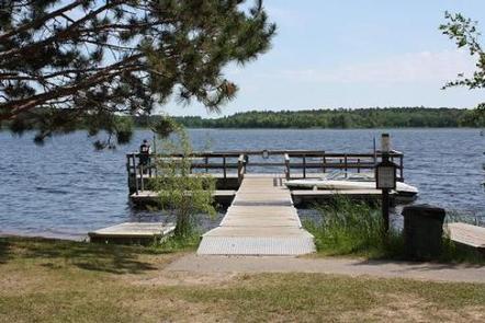
Boating and swimming are popular activities on Little Cut Foot Sioux Lake. Fishing during Minnesota’s season opener is historically very good. An accessible fishing dock and fish cleaning station are located on-site. A few boat slips are located at the water’s edge.
Miles of trails in the area provide great hiking, horseback riding, mountain biking and birding opportunities. The Simpson Creek Trail and Cut Foot Sioux National Recreation Area trail can be accessed in the area.
Cut Foot Sioux Lake is located next to and provides access to Lake Winnibigoshish. Lake Winnie offers excellent fishing opportunities for walleye, perch and muskie. It is one of the state’s premier fisheries. Boating and water skiing are also popular activities.
Facilities
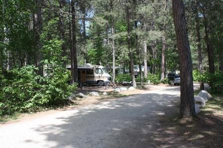
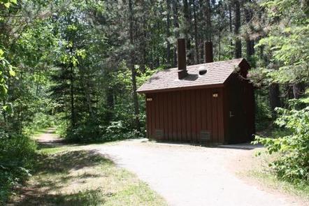
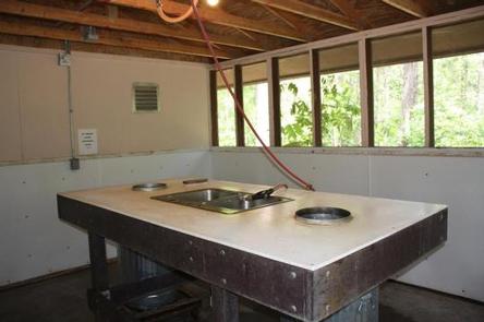
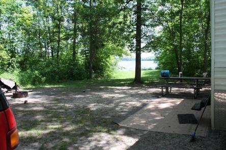
This popular campground offers several single-family sites, the majority of which have 30-Amp electric hookups. Most sites are large enough to accommodate 38-foot RVs. Each site is equipped with a picnic table and campfire ring. There are three sets of accessible vault toilets and three drinking water spigots spaced equally through the campground. Additionally, there is a fishing cleaning building within the campground for camper use.
Natural Features
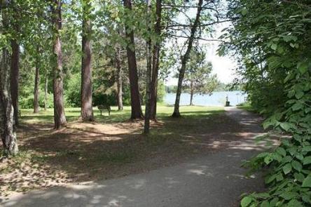
The campground is situated between Highway 46 and Little Cut Foot Sioux Lake, before the bridge on the east side of the road. A scenic forest of birch and red pine trees covers the area, offering shade and privacy between sites. Eleven sites are located on the lakefront.
The lake is home to a variety of waterfowl and birds of prey, including loons, osprey and bald eagles.
Nearby Attractions
The Cut Foot Sioux Visitor Center is just north of the campground. A half-mile accessible trail leads to the center, which offers interpretive displays, educational programs and area information.