


Directions
From Boise, Idaho, travel north on Highway 55 for 85 miles to Cascade. Turn west on Old State Highway and go a half-mile to Lakeshore Drive. Turn south and travel 3 miles to West Mountain Road. Turn west and follow the road 5 miles to the campground.
Phone
208-382-7400
Activities
BOATING, CAMPING, FISHING, HIKING, WATER SPORTS, WILDLIFE VIEWING
Keywords
FREC,BOISE NF – FS
Related Link(s)
Overview
French Creek Campground is located next to scenic Lake Cascade in west-central Idaho. It is near the town of Donnelly, at an elevation of 4,850 feet. Boating, fishing, swimming and hiking are popular activities in this scenic region.
Recreation
Lake Cascade offers excellent opportunities for boating, water skiing, canoeing, windsurfing and sailing. Anglers enjoy casting for rainbow trout, coho salmon, smallmouth bass and perch. Many hiking and biking trails are in the area as well.
Facilities
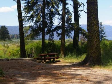
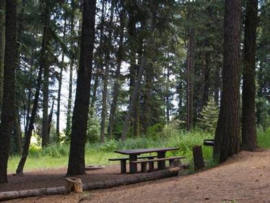
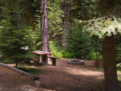
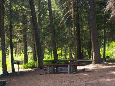
The campground is divided into two sections of campsites. Some are located on the east side of West Mountain Road, closer to the lakeshore and with beautiful lake views. Other sites are on the west side of the road, on a hillside above the lake. A few of these sites have partial lake views. Some also have stairs from the parking spur to the campsite.
Campsites are equipped with a table and campfire ring. Vault toilets, drinking water and trash collection are provided, but there is no electricity at the campground. Roads and parking spurs within the facility are gravel.
Natural Features
The campground is situated on the western shore of Lake Cascade and on the banks of French Creek. A forest of mixed conifers covers the campground, providing ample shade. Thimbleberry and huckleberry plants are abundant throughout the upper reaches of the campground.
A wide variety of wildlife makes its home around the lake. Waterfowl and songbirds are abundant, as well as pelicans and bald eagles.