

Directions
From Leadville, Colorado, head west on County Road 4 and turn right on County Road 9C. Follow signs to Molly Brown Campground on the right.
Phone
719-486-0749 (FOR INFORMATION ONLY, NO RESERVATIONS)
Activities
HISTORIC & CULTURAL SITE, CAMPING, FISHING, HIKING, SWIMMING SITE
Keywords
MOLB,TURQUOISE LAKE,LEADVILLE,PIKE AND SAN ISABEL NF- FS
Related Link(s)
Colorado State Road Conditions
Overview
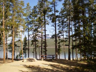
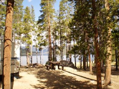
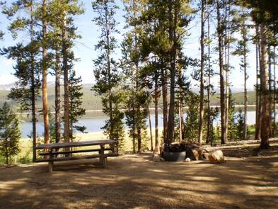
Named after the “unsinkable” Molly Brown on the Titanic, Molly Brown Campground, on the eastern shore of Turquoise Lake, sits in a shaded lodgepole pine forest. The campground is ideal for enjoying the popular recreation lake and offers access to boating, fishing, hiking and water skiing.
The famous Molly Brown lived in the town of Leadville, just 5 miles east of the campground. She became wealthy from her husband’s mining success and took on a life as a philanthropist, socialite and activist.
Recreation
The 1.2-mile Turquoise Lake Nature Trail is a gentle loop trail through the forest and down to the shoreline of Turquoise Lake. This trail connects to the 6.4 mile Turquoise Lake Trail that parallels the shoreline from the dam to May Queen Campground. It is recommended that hikers pick up a trail guide prior to departure to learn about the flora and fauna along this trail. On the lake, sailing, boating and canoeing are always enjoyed. Anglers seek out mostly mackinaw and rainbow trout.
Facilities
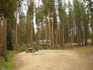
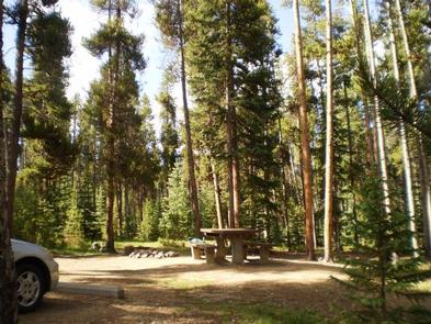
The two-loop campground has private sites due to ample understory. Vault toilets are located throughout the campground and drinking water is available via a pressurized water system. Picnic tables and campfire rings with grates are at each campsite. Firewood is for sale at the host site.
Natural Features
Campsites are perched along the scenic waters of the lake. Nearby is the Mount Massive Wilderness area, a 30,540 acre stretch of forest land which encompasses Colorado’s second highest peak, Mount Massive at 14,421 feet. Much of the wilderness is above timberline with many alpine plant communities and permanent snowfields.
Nearby Attractions
The town of Leadville, a historic gold and silver mining town, is a fun place to explore with the family.
Drive on the Top of the Rockies Scenic Byway to Independence Pass, one of the highest paved passes in Colorado. Continue over the pass to the town of Aspen, a well-known ski resort town.