Directions
From Pueblo, drive 25 miles south on Interstate 25 to exit 74. Go west 18 miles on state Highway 165. Turn into the main entrance at Lake Isabel Recreation Area. The campground is the first within the recreation area on the left.
Phone
FOR RESERVATIONS CALL (877) 444-6777, FOR OTHER NON REAL TIME INFORMATION, CALL 719-269-8500.
Activities
CAMPING, INTERPRETIVE PROGRAMS, FISHING, HIKING
Keywords
LASS,LAKE ISABEL SOUTHSIDE RV SITES,PIKE AND SAN ISABEL NF- FS
Related Link(s)
Colorado State Road Conditions
Overview
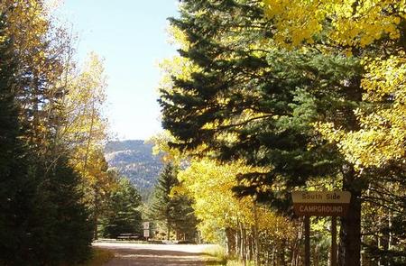
Southside Campground is a small RV facility situated in the Wet Mountains by Lake Isabel. The popular recreation area offers a selection of hiking trails and great fishing and paddle boating on Lake Isabel.
Lake Isabel was built by the Civilian Conservation Corps in the late 1930s, for the purpose of recreation.The 40-acre lake is stocked with trout and the nearby St. Charles Creek offers additional fishing opportunities.
Recreation
Lake Isabel welcomes non-motorized boating and fishing. Brown and brook trout are stocked in the lake and the St. Charles headwaters reap brook trout.
Visitors can enjoy hiking, bicycling or motorcycling on either the Snow Slide Trail and Cisneros Trail. The 15-mile Cisneros Trail, also open to ATV riders, leads to the heart of the Wet Mountains, through forests and open, wildflower-speckled valleys. Along the way, the trail connects to St. Charles Trail, which heads to St. Charles Peak.
Facilities
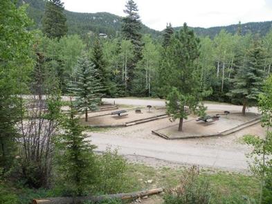
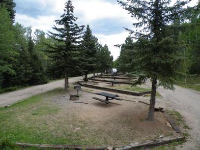
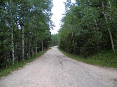
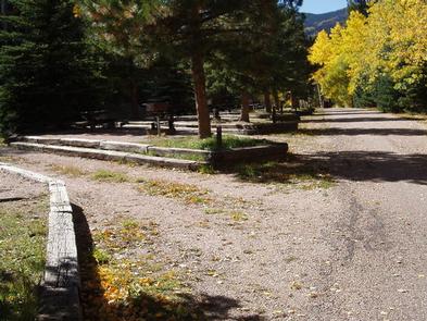
The campground is designed for RVs less than 30 feet in length, with no large slide-outs and require no hook-ups. Roads are paved. The facility is not ideal for tent camping, but tent camping is permitted. All sites are pull-through; backing is not required.
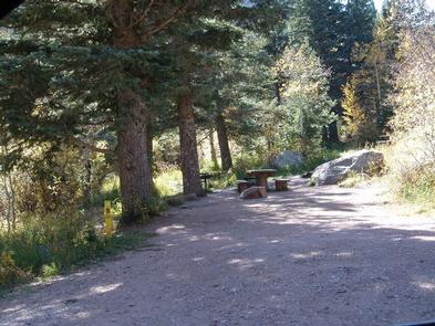
RV hookups are not available. Amenities include campfire grills, vault toilets, drinking water and picnic tables.
Natural Features
Aspen and ponderosa pine help shade the campground. Lake Isabel impresses visitors with a shoreline that meets the rocky base of the surrounding mountains at an elevation of 8,600 feet.
The Pike and San Isabel National Forest includes over a million acres of wilderness and over half of Colorado’s mountain peaks that reach above 14,000 feet.
Nearby Attractions
A nearby lodge provides paddle and rowboat rentals, groceries and a restaurant. Golf courses are about 15 minutes away.

