
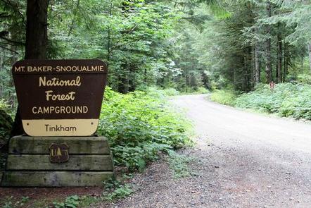
Directions
From Seattle, Washington, go east on I-90 to Exit 42. Turn south and go approximately 1 mile to the campground.
Phone
360-804-1103
Activities
BIKING, CAMPING, FISHING, HIKING
Keywords
TINK,MT. BAKER-SNOQU NF – FS
Related Link(s)
Washington State Road Conditions
Overview
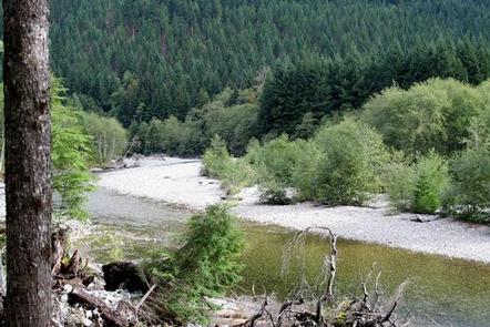
Tinkham Campground is located along the South Fork Snoqualmie River in Mt. Baker-Snoqualmie National Forest. It offers some of the most stunning scenery in Washington’s North Cascades, as well as easy access to an abundance of recreational activities.
Recreation
The surrounding area is a prime location for hiking, fishing, picnicking and horseback riding in summer and early fall. In winter, visitors can take advantage of skiing and snowshoeing opportunities.
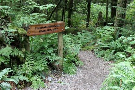
A handful of hiking trails lie within a short driving distance, making Tinkham an ideal setting for both individual and family camping excursions. The 0.5-mile Tinkham Discovery Trail is an easy, family-friendly nature path. It weaves through fallen, moss-covered trees to a small pond. Children love investigating the insects, wildflowers and fungi along the trail.
Facilities
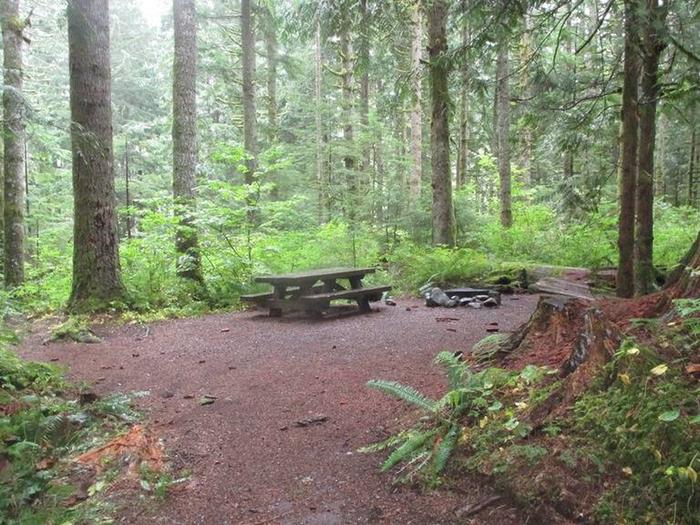
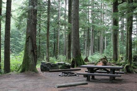
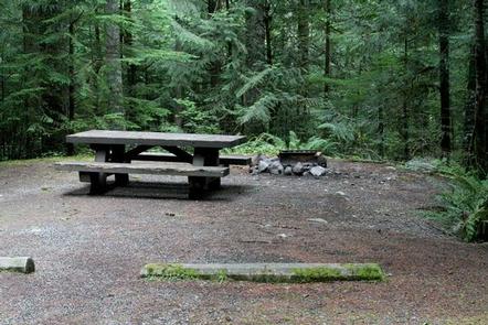
Tinkham Campground offers single-family sites, a few of which are accessible. Picnic tables and campfire rings with grills are provided, as are vault toilets and drinking water. No electrical hookups are available.
Natural Features
The campground sits alongside the river, in a towering canopy of Douglas fir, cedar and western hemlock, providing abundant shade.
Rugged peaks, scenic rivers and abundant wildlife define the Mt. Baker-Snoqualmie National Forest and surrounding designated wilderness areas. On a clear day visitors can see Mt. Baker, which rises to an elevation of 10,781 feet. The active volcano is perpetually snow-capped. Mt. Baker’s summit, Grant Peak, is actually a 1,300-foot-deep mound of ice, which hides a massive volcanic crater.
Wildlife in the area ranges from mountain goats in the higher elevations to coyotes and pine martens in the forests. Migratory birds and native fish find ample habitat in the varied ecosystems as well.
Nearby Attractions
Mount Rainier National Park is about an hour away. This beautiful park offers fantastic glimpses of glaciers, subalpine ecology and volcanic landscapes. Hiking and scenic driving are the area’s most popular activities.