LODGEPOLE (Taylor River), CO Campground Reservation, Info, Images, Map, Directions

LODGEPOLE (Taylor River), Colorado Campground Images, Info & Reservations

Directions

From Gunnison, Colo., travel north on Highway 135 for 10 miles to Almont. Turn right (northeast) onto Taylor Canyon Road and proceed 12 miles to the campground entrance, which is on the right.

Phone

970-642-0566

Activities

BIKING, BOATING, CAMPING, FISHING, HIKING, HORSEBACK RIDING

Keywords

LODG,LODGEPOLE Gunnison Grand Mesa,GUNNISON,GM,UNCOMP NF – FS,Lodgepole (Gunnison,Taylor River)

Related Link(s)

Rec Area Info & Images

Forest Service Concessionaire

Colorado State Road Conditions

Colorado State Tourism

Overview

Lodgepole Campground is located 22 miles from Gunnison, COLORADO in the Taylor River Canyon. Visitors enjoy the area for its rafting, fishing and trail opportunities.

Recreation

The Taylor River can be accessed from the campground, and offers a calm stretch for leisurely rafting and kayaking. Anglers cast for rainbow and brook trout.

The Fossil Ridge Wilderness Area lies one mile south of the campground. The Summerville and South Lottis trailheads provide access to the scenic, natural area.

A number of off-road trails are found in the surrounding area, including Doctor Park Trail, Taylor River Trail and Taylor Vista Trail.

Facilities

The campground offers single-family campsites, each equipped with a picnic table and campfire ring. Vault toilets and drinking water are provided.

Natural Features

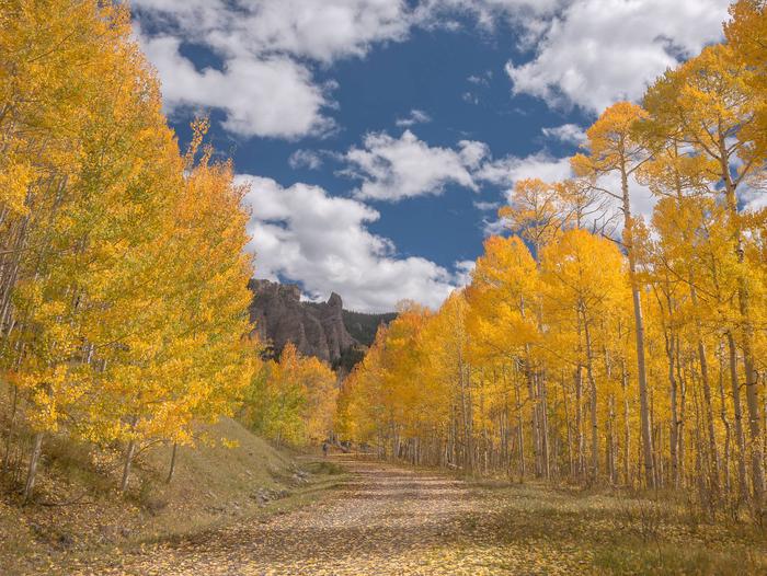
The campground is situated in a dense stand of lodgepole pine trees, which provides shade and privacy between campsites. Summertime temperatures are warm during the day and cool at night.

Nearby Attractions

Taylor Park Reservoir is located within 10 miles of the campground, offering boating, fishing and swimming. A boat ramp and boat rentals are available there as well.

Reservation

More from CampingHiking.net:

Grandview Shelter 1, West Virginia Campground Images, Info & Reservations

Directions To reach Grandview from Beckley follow I-64 East five miles to Exit 129 B. From Lewisburg follow I-64 West forty miles to Exit 129. From either exit, turn right and follow Route 9 North six miles to Grandview. Phone 304-465-0508 Activities HIKING, PICNICKING, DAY USE AREA Keywords Grandview State

CLEARWATER LAKE REC AREA, Florida Campground Images, Info & Reservations

Directions From the intersection of Florida Highways 19 and 42, go east on Highway 42 toward Paisley. Drive approximately 6 miles and turn left at the entrance to Clearwater Lake Recreation Area. Phone 352-669-0078 Activities BIKING, BOATING, CAMPING, INTERPRETIVE PROGRAMS, FISHING, HIKING, VISITOR CENTER, SWIMMING SITE, MOUNTAIN BIKING, KAYAKING, CANOEING

Diamond Creek Guard Station, Idaho Campground Images, Info & Reservations

Directions From Soda Springs, take Highway 34 north approximately 12 miles to the China Hat turnoff (Blackfoot River Narrows). This road will follow Blackfoot River for another 11 miles to a junction; there is a Forest Service sign at this point. Take the right fork (Caribou National Forest Road 102)

RIBBONWOOD EQUESTRIAN CG, California Campground Images, Info & Reservations

Directions From Palm Desert, California, take the Palms to Pines Highway/Highway 74 south for approximately 16 miles to the community of Pinyon. Turn left onto South Pinyon Drive and the entrance to the campground is on the right. Phone (760) 862-9984 Activities CAMPING, FISHING, HORSEBACK RIDING, HORSE CAMPING, MOUNTAIN BIKING

CAGES BEND, Tennessee Campground Images, Info & Reservations

Directions From Nashville, TN, travel North on I-65 and take TN-386/Vietnam Veterans Blvd. Continue to exit 12, Big Station Camp Blvd. Turn right onto Big Station Camp Bldvd. Continue staight across Nashville Pike onto Cages Bend Road. Take Cages Bend Road to Benders Ferry Road. The recreation area will be

PLENTY CUTTHROAT CABIN, Alaska Campground Images, Info & Reservations

Directions Approximately 35 air miles from Ketchikan at the west end of Orchard Lake. Accessible by float plane or boat. A 1-mile trail from Shrimp Bay provides saltwater access. Mooring buoy for boat is located in Klu Bay. Refer to USGS Ketchikan D-5. In fall, winter, and early spring, the