
Directions
From Eureka, travel west on Highway 93 for about a mile, then continue 6 miles south on Highway 37.
Phone
406-296-2536
Activities
BOATING, CAMPING, INTERPRETIVE PROGRAMS, FISHING, HIKING, WATER SPORTS, SWIMMING SITE
Keywords
REXF,KOOTENAI NF – FS
Related Link(s)
Overview
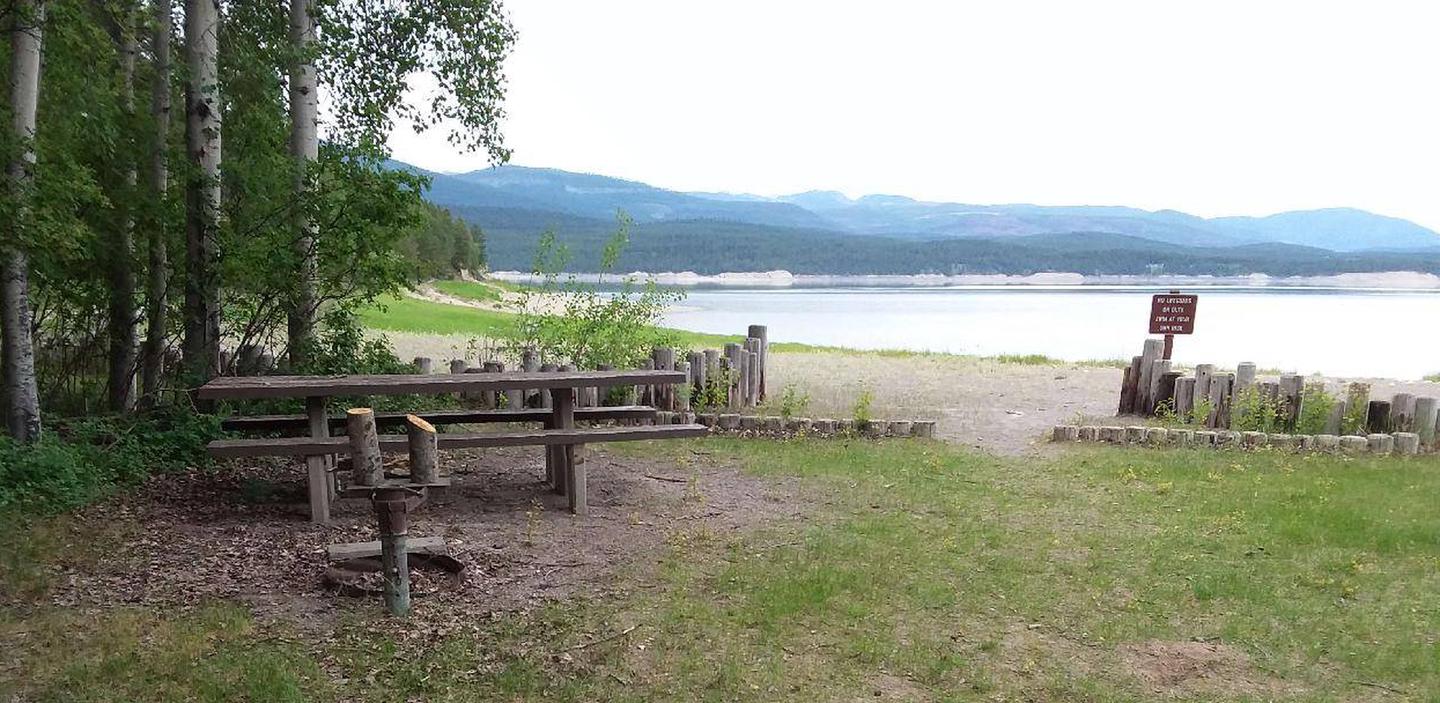
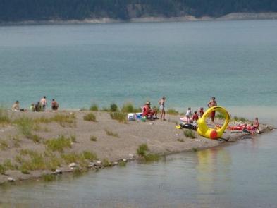
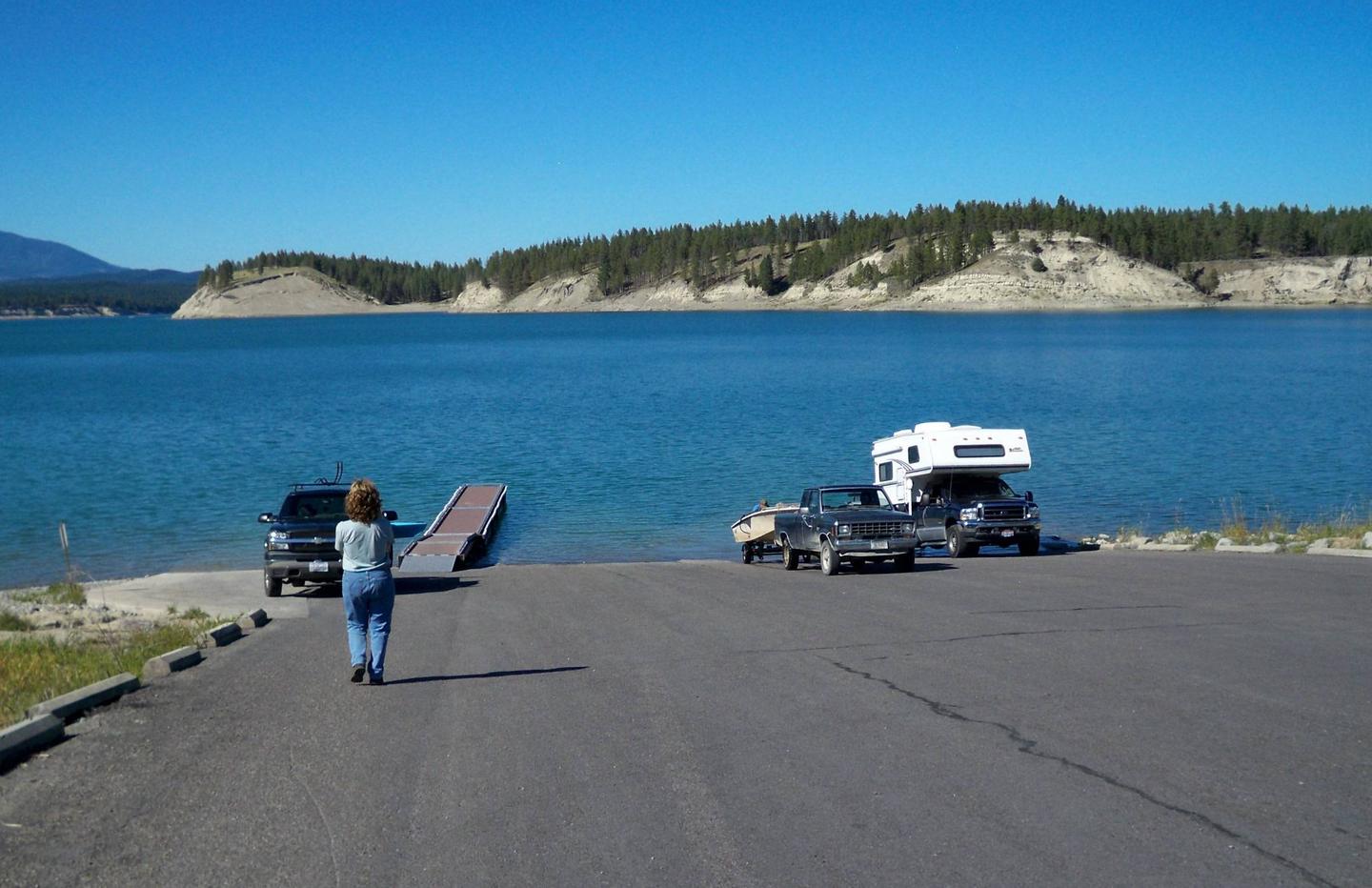
Rexford Bench Recreation Area is the most highly developed camp area within the Kootenai National Forest. Rexford Bench Campground has 54 sites, 35 are first come-first serve and 19 can be reserved. Kamloops Terrace has 20 sites and additional overflow parking. A high and low water boat ramp is available. A day use area with swimming beach completes this popular area. It is a popular destination for boating, fishing and swimming on Lake Koocanusa, and hiking in the surrounding forest. Beautiful sandstone formations can be viewed not far from the campground, and osprey and eagles can often be seen fishing in the reservoir.
Recreation
Fishing, boating and swimming are popular activities. Fishing derbies are held several times each year and anglers can expect a catch of kokanee salmon, whitefish and a variety of trout, among others.
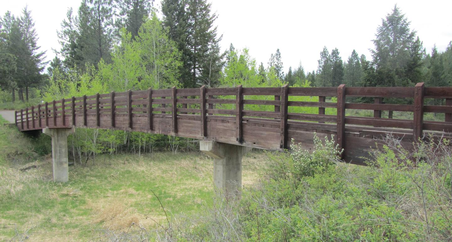
A variety of hiking trails begins in the campground, including a relatively short interpretive trail that loops around the campground, and the Hoodoo Trail, that leads to impressive sandstone formations that jut out from an inlet along the lake. The Hoodoos can also be seen via boat. Several paths lead from the campground to the adjacent beach, boat ramp and overflow parking area.
Facilities
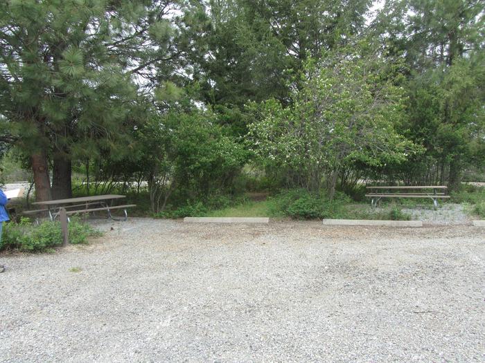
The campground offers dozens of accessible, single-family sites for tent and RV camping. Some sites are available on a first-come, first-served basis. A large overflow parking area is available for boat trailers and RVs.
Each site is equipped with a table and campfire ring with grill. Accessible flush toilets and drinking water are provided, but utility hookups are not available. Campground roads and campsite spurs are paved. A campground host is on-site.
Natural Features
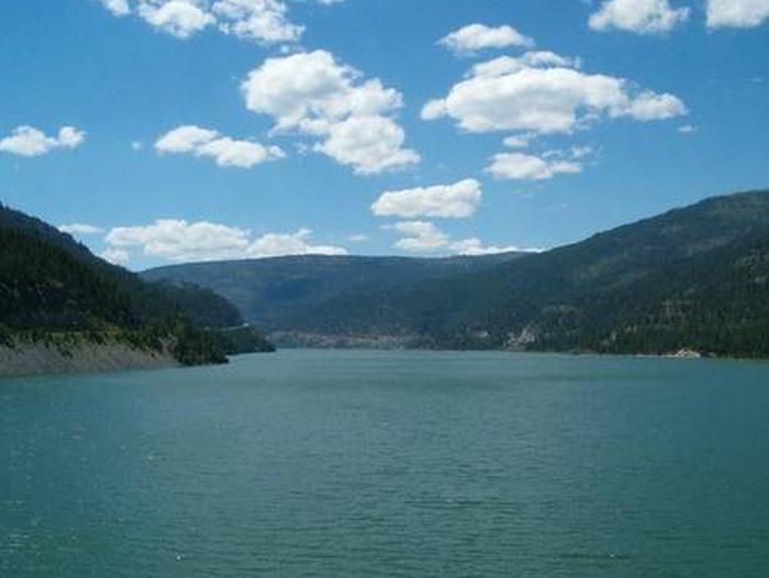
The campground is located on an arm of Lake Koocanusa in northwest Montana near the Canadian border. The 46,500-acre reservoir has over 127 miles of shoreline and is formed by 422′ Libby Dam on the Kootenai River, which stretches about 90 miles and into Canada. It is a large campground, situated in a ponderosa pine forest at an elevation of 2,470 feet.
Osprey often fish around Libby Dam at sunset, making for enjoyable viewing opportunities. Bald eagles can be seen hunting kokanee in the river and lake during the fall. A variety of wildlife also makes its home in the area.
Nearby Attractions
The Kootenai River, below Libby Dam, is a blue ribbon fishery. Guided tours of the dam and powerhouse are offered at the visitor center throughout the summer. Visitors also enjoy driving the 100-mile loop around the reservoir. Several trails, including some that lead to scenic waterfalls, are located along the route.