Directions
From Jackson, Mississippi, travel Highway 25 north toward Starkville. Turn onto Highway 15 north toward Ackerman, Mississippi, and travel 11 miles to Forest Road 967 to the campground.
Phone
662-285-3264
Activities
BIKING, BOATING, CAMPING, FISHING, HIKING, WILDLIFE VIEWING, SWIMMING SITE
Keywords
CHOL,NFs IN MISSISSIPPI – FS
Related Link(s)
Mississippi State Road Conditions
Overview
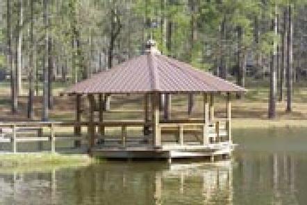
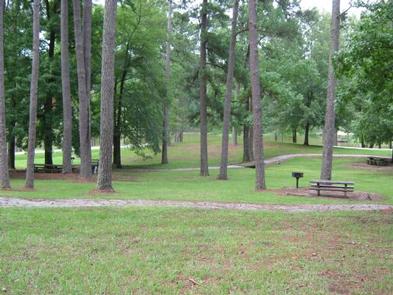
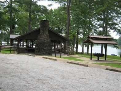
Scenic Choctaw Lake Campground wraps around Choctaw Lake in the Tombigbee National Forest of Mississippi. Its location provides visitors with ample opportunities for recreation, including fishing, boating, hiking and biking. A day-use area is popular for picnicking and has a swiming beach
Recreation
Choctaw Lake Recreation Area offers a range of outdoor opportunities, including camping, picnicking, hiking and biking. The lake offers boating, swimming and fishing. Anglers can look forward to a catch of largemouth bass, bream, catfish and crappie.
An accessible walking trail around the lake is available for a leisurely stroll, as well as a moderate skill level, 3-mile trail, that takes off from the campground. A variety of birds and wildlife may be seen along these paths.
Facilities
The campground offers nearly two dozen campsites, some of which are accessible. Additional sites are available on a first-come, first-served basis. Each site is equipped with full utility hookups, a picnic table and campfire ring with grill.
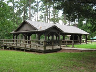
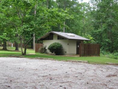
Individual and group picnic shelter sites are also available within the day-use area and swimming beach. Accessible flush toilets, showers drinking water are provided. A campground host is on-site.
Natural Features
The campground is situated between smaller Cabin Lake and larger, 100-acre Choctaw Lake. It is near the Natchez Trace Parkway, Noxubee Wildlife Refuge and French Camp, all popular destinations in the area.
Nearby Attractions
The campground is located 5 miles south of the town of Ackerman, 11 miles northwest of Louisville and 20 miles southwest of Starkville.
The Noxubee Hills hiking and biking trailhead is located at the Choctaw Lake Recreation area as well. The 26-mile trail has vault toilets at each end and is rated moderate-to-experienced, for biking and hiking.
The Choctaw Lake recreation area is also within 20 miles of Mississippi State University. Athletic, cultural and scholastic events abound there.

