HAMPSHIRE ROCKS, CA Campground Reservation, Info, Images, Map, Directions

HAMPSHIRE ROCKS, California Campground Images, Info & Reservations

Directions

From Truckee, Calif., take Highway 80 west 17 miles. Take the Rainbow/Big Bend exit. If westbound, turn left under the freeway to the campground entrance. If eastbound, turn right at the stop sign.

Phone

530-478-6253

Activities

BIKING, CAMPING, FISHING, HIKING, SWIMMING, WATER ACCESS, SCENIC DRIVE, HISTORIC SITES

Keywords

HAMP,TAHOE NF – FS

Related Link(s)

Rec Area Info & Images

California State Road Conditions

California State Tourism

Overview

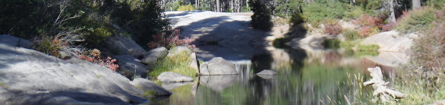
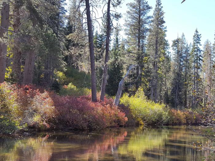
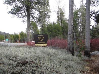
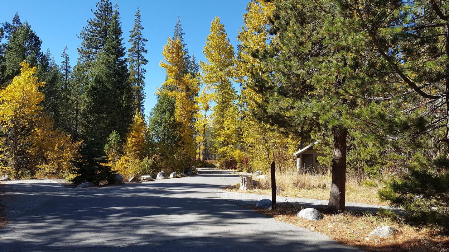
Hampshire Rocks Campground is located in the Tahoe National Forest on the banks of the South Yuba River, near the Rainbow/Big Bend exit along Interstate 80. Visitors enjoy the area for its cool temperatures, access to the South Yuba River, fishing, and trail opportunities, as well as its historic significance along the California Emigrant Trail. This facility is operated and maintained by the Tahoe National Forest.

Recreation

The South Yuba River offers swimming, and rainbow trout fishing. The surrounding area offers hiking, road biking, mountain biking, and off-road vehicle trails. The historic California Emigrant Trail passes through the campground.

Facilities

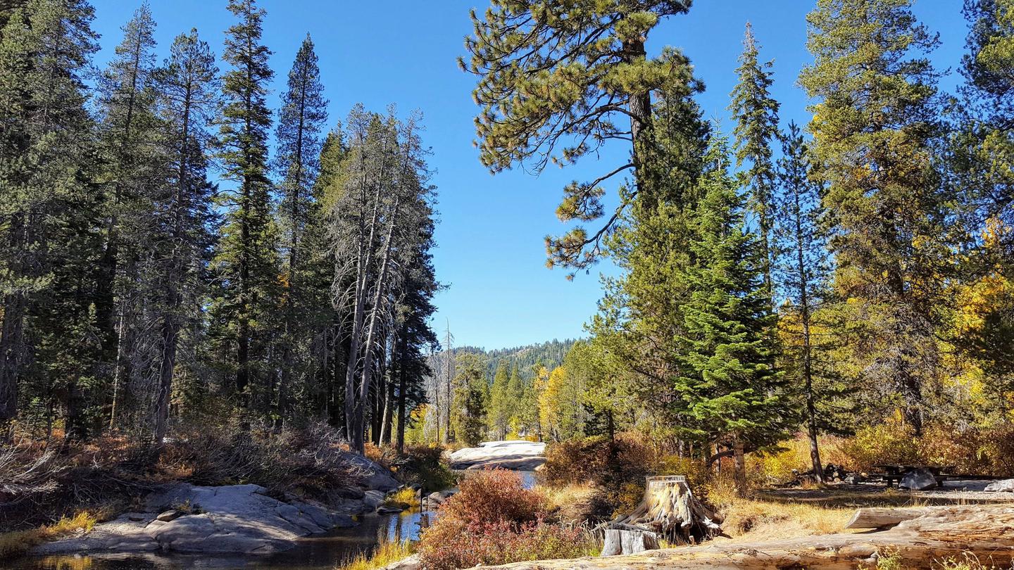
The campground offers single-family campsites, a few of which are designated for tent camping only. Each site is equipped with a picnic table and campfire ring. Vault toilets and drinking water are provided.

Natural Features

The campground is situated on the north bank of the upper South Yuba River in a forest of lodgepole pines. Some sites are adjacent to the river, which flows gently through this particular area.

Nearby Attractions

Donner Lake is located 14 miles east of the campground via Historic Route 40/Lincoln Highway, known as the nation’s first transcontinental highway. Many points of interest lie along Route 40, including China Wall, Rainbow Bridge, Sugar Bowl, Lake Van Norden and Ice Lakes. Other attractions include Donner Summit PCT, Loch Leven, and Castle Peak Trailheads, Fordyce 4×4 jeep trail, and Grouse Ridge Non-Motorized Area.

Reservation

More from CampingHiking.net:

JOPLIN, Arkansas Campground Images, Info & Reservations

Directions From Hot Springs, Arkansas: Take US 270 west for 23.5 miles to Mountain Harbor Road. Turn right and follow access road three miles north to the park. Phone 870-867-4472 Activities BIKING, BOATING, CAMPING, FISHING, WATER ACTIVITIES, KAYAKING, CANOEING Keywords JOPL,LAKE OUACHITA,MOUNTAIN HARBOR,LAKE OUACHITA Related Link(s) Rec Area Info &

SWEETWATER, California Campground Images, Info & Reservations

Directions From Fresno, California, take Highway 41 north. Turn northeast on Forest Road 200 and pass through North Fork. Take Minarets Road east and follow it 37 miles. Turn right on Mammoth Pool Road and follow it 2 miles to Sweetwater Campground. Phone 559-642-3212 Activities BOATING, CAMPING, FISHING, HIKING, SWIMMING

CANYON RIM, Utah Campground Images, Info & Reservations

Directions Located on Forest Road 095/Red Canyon Road off Highway 44, approximately 40 miles north of Vernal, Utah. Phone 435-784-3445 Activities BOATING, CAMPING, FISHING, HIKING, WILDLIFE VIEWING Keywords CANR,RED CANYON COMPLEX,THE RIM,FLAMING GORGE,ASHLEY NF – FS,Flaming Gorge National Recreation Area Related Link(s) Rec Area Info & Images Utah State Tourism

HOUSTON MESA, Arizona Campground Images, Info & Reservations

Directions From Payson, Arizona, go north for 1 mile to the junction of Highway 87 (Beeline Highway) and Forest Road 199 (Houston Mesa Road). Turn right (east) onto Forest Road 199 for .10 miles. The campground is on the north side of Houston Mesa Road. Phone 928-468-7135 Activities CAMPING, HIKING,

OHARA, Idaho Campground Images, Info & Reservations

Directions The campground is located 7 miles off U.S. Highway 12 at Lowell, Idaho, on Selway River Road 223. Phone 208-926-4258 Activities BOATING, HISTORIC & CULTURAL SITE, CAMPING, FISHING, HIKING, WILDLIFE VIEWING Keywords OHAR,O HARA,NEZPERCE NF – FS Related Link(s) Rec Area Info & Images Idaho State Road Conditions Idaho