PIPI CAMPGROUND, CA Campground Reservation, Info, Images, Map, Directions

PIPI CAMPGROUND, California Campground Images, Info & Reservations

Directions

From Jackson, California, head east on Highway 88 for 26 miles to Omo Ranch Road. Turn north (left) on Omo Ranch Rd. and follow for 1 mile to North South Road. Turn right on North South Road and continue for about 6 miles into the campground.

Phone

+1 (209) 295-4414

Activities

CAMPING, FISHING, SWIMMING SITE

Keywords

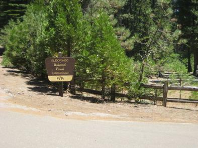
PIPI,ELDORADO NF – FS

Related Link(s)

Rec Area Info & Images

Forest Service Concessionaire

California State Tourism

California State Road Conditions

Overview

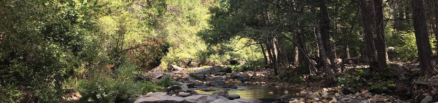
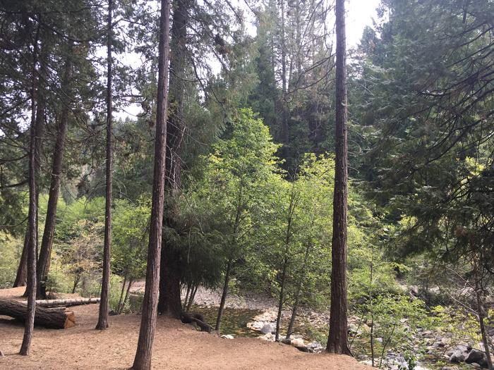
Pipi Campground (pronounced "pie pie") offers RV and tent camping along the Middle Fork of the Cosumnes River, offering great fishing and swimming opportunities.

The Cosumnes River flows from the western slopes of the Sierra Nevada and runs for about 52 miles through California’s Central Valley and into the Mokelumne River. Historically, the native Miwok people of northern California used to camp in this region in summertime.

Recreation

Rainbow trout are regularly stocked in the river and wheelchair accessible fishing is provided from the paved river walkway. The walkway meanders along the river for just under a mile.
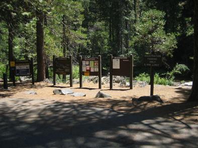
Facilities

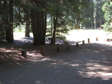
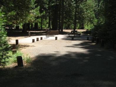
A spacious picnic area is located along the river. The campground provides drinking water and vault toilets. Most parking aprons are paved, but some are gravel. Single sites fit a maximum of two vehicle and six people.

Interpretive programs take place in peak season.

Natural Features

At an elevation of 4,100 feet, PiPi boasts three camp loops with a dense mixture of conifers like cedar and fir. The area is part of the Eldorado National Forest located in the central Sierra Nevada. A Mediterranean climate extends over most of the forest with warm, dry summers and cold, wet winters.

Reservation

More from CampingHiking.net:

PAINTED ROCKS, Colorado Campground Images, Info & Reservations

Directions From the I-25 and Highway 24 intersection in Colorado Springs, Colorado, travel west on Highway 24 for about 18 miles to the junction with Highway 67 in Woodland Park. Turn right (north) on Highway 67 and drive about 7 miles to Painted Rocks Road and turn left (west). Take

PIONEER TRAIL, California Campground Images, Info & Reservations

Directions From Sonora, California, take Highway 108 east for about 30 miles. Exit at Pinecrest Lake and turn right on Dodge Ridge Road. Continue 1 mile to Pioneer Trails Campground, located on the left. Phone 209-965-3474 Activities BOATING, CAMPING, FISHING, HIKING, SWIMMING SITE Keywords PION,STANISLAUS NF -FS Related Link(s) Rec

ELK CREEK LANDING, Oklahoma Campground Images, Info & Reservations

Directions From Tahlequah, OK, go 14 miles southeast on Highway 82, then turn right and go a mile on the paved access road. Phone 918-487-5252 Activities BOATING, CAMPING Keywords ELCL,TENKILLER LAKE,TENKILLER FERRY LAKE,TENKILLER FERRY Related Link(s) Rec Area Info & Images Oklahoma State Tourism Oklahoma State Road Conditions Overview Elk

MATTERHORN, Colorado Campground Images, Info & Reservations

Directions From Telluride, travel approximately 7 miles south on Highway 145. Watch for campground signs; the turn off from the road is on the left. Phone 970-249-4552 Activities BIKING, CAMPING, FISHING, HIKING, HUNTING, WILDLIFE VIEWING Keywords MATT,MATTERHORN UNCOMPAHGRE N F,GUNNISON,GM,UNCOMP NF – FS Related Link(s) Rec Area Info & Images