
Directions
From Las Vegas, travel north on Highway 95 to the junction with Highway 157/Kyle Canyon. Turn left and travel approximately 17 miles to the junction with Highway 158/Deer Creek. Turn right and travel about 4 miles to the campground on the right side of the road.
Phone
702-872-5486
Activities
BIKING, CAMPING, HIKING
Keywords
HILT,MOUNT CHARLESTON,LAS VEGAS,SPRING MTN NAT REC AREA,HUMBOLDT-TOIYABE NF-FS
Related Link(s)
Overview
Hilltop Campground is set in the beautiful Spring Mountains National Recreation Area, just 40 miles from downtown Las Vegas. Visitors enjoy hiking, horseback riding and scenic driving in this forested desert oasis.
Recreation
The North Loop-Mt. Charleston National Recreation Trail begins only 1/4-mile away. Robber’s Roost Trailhead is nearby as well. The Spring Mountains Visitor Center is a short drive from the campground, offering guided hikes and educational programs.
Facilities
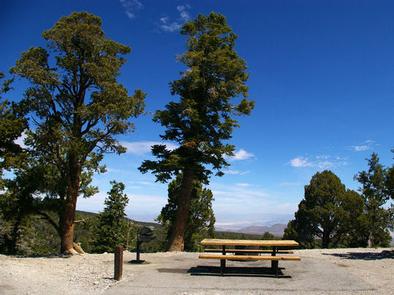
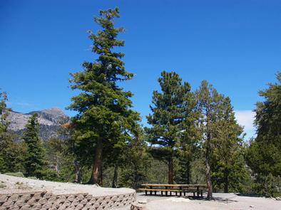
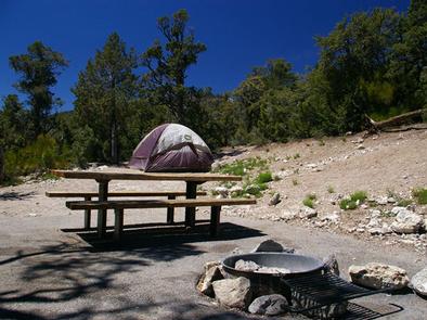
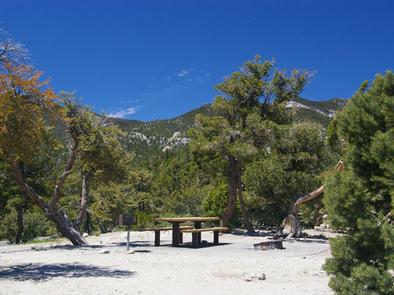
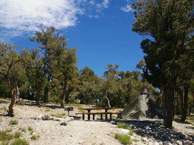
The campground offers single, double and triple campsites, all with picnic tables, campfire rings and grills. Some sites have stairs from the parking spur to the campsite.
Vault toilets, porta potties and trash collection are provided. Roads and parking spurs are paved.
Natural Features
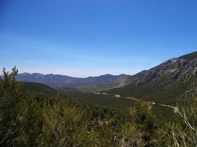
The Spring Mountains National Recreation Area is a beautiful island in the desert, brimming with breathtaking scenery and diverse flora and fauna. The Bristlecone pine, the world’s oldest organism, and the rare Mount Charleston blue butterfly are both found within the Spring Mountains.
More than 100 springs create the namesake for the mountain range, making it an ideal place to escape the heat of the city.
The campground is situated so campers are awarded sweeping views of the Mojave Desert below and Spring Mountains above. Stands of juniper, mountain mahogany and ponderosa pine forest the site and provide limited shade.
Nearby Attractions
More than 60 miles of hiking and horseback riding trails crisscross the area; two trails allow mountain biking. Rock climbing, picnicking and scenic driving are popular activities.