
Directions
Located 50 miles east of San Diego, California. Take I-8 to Sunrise Highway exit. Go approximately 15 miles to Laguna/El Prado Campground, just beyond the 26 mile marker. Stop at the entrance station for campground information and site location.
Phone
619-473-2082
Activities
BIKING, CAMPING, HIKING, DAY USE AREA
Keywords
LAGN,CLEVELAND NF – FS
Related Link(s)
California State Road Conditions
Overview
Laguna Campground is a great mountain getaway just one hour east of San Diego, California in the Laguna Mountain Recreation Area. Campers can enjoy cooler temperatures, unique natural areas and an extensive trail system at this mountain facility from summer through early fall.
Recreation
The Laguna Mountain Recreation Area is known for great horseback riding, mountain biking and hiking trails. Visitors can get their boots dusty on the Laguna Meadow Trail system or access a segment of the 2,650-mile Pacific Crest Trail, which runs from California to the State of Washington.
Wildflowers are usually abundant in April and May on the Big Laguna Trail, which takes visitors past Big Laguna Lake. In wet years there is water in Big Laguna Lake by December or January and ducks and other birds can be found.
The trail presents a number of options to the user. A return to the trailhead parking can be made by cutting through the Laguna Campground or by taking the Pacific Crest Trail north.
Families can learn about the area’s flora and fauna by attending educational programs at the facility’s amphitheater. Or for history buffs, the El Prado Cabin located at nearby El Prado Campground, is the first ranger cabin built in the Cleveland National Forest in 1911.
The San Diego State University Observatory also sponsors "Star Parties" for campers most Saturday evenings during the summer (schedule can be obtained at the nearby visitor center or by calling 619-473-8547).
Facilities
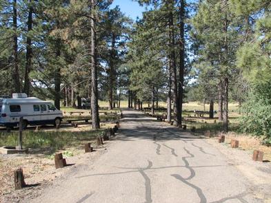
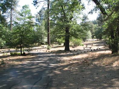
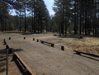
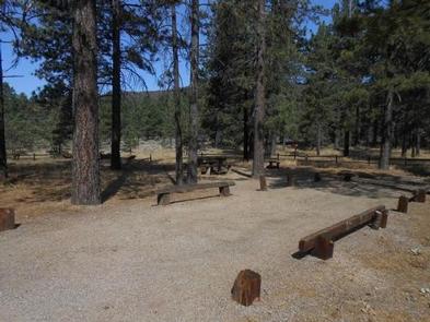
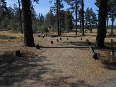
This large facility has five loops of campsites, with sites fairly close to one another. One campsite meets accessibility standards. The facility is equipped with campfire rings, flush toilet restrooms and coin-operated showers.
Part of the campground is fenced off to protect the habitat of the endangered Laguna Skipper butterfly. Visitors are asked to respect the fence boundary and comply with the maximum site occupancy.
Natural Features
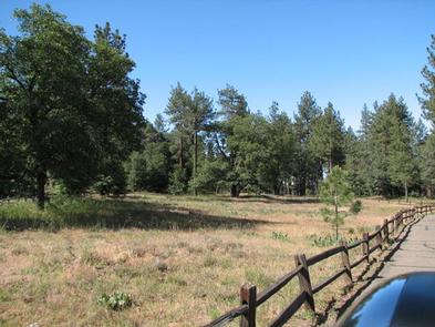
The campground sits at an elevation of 6,000 ft. in the Laguna Mountains. It is forested with pines and oaks that provide plenty of shade, in addition to a meadow. The area is home to many species of birds, as well as the endangered Laguna Skipper butterfly.
Little Laguna lake is located just a short distance from the campground and is an excellent hiking destination for photographers and visitors looking to explore the area.