
Directions
The campground is located on the west side of Colorado Highway 7, between Allenspark and Meeker Park at mile-marker 14. It is approximately six miles north of the intersection of Colorado Highways 7 and 72 (which is 21 miles west-north-west of Lyons), 15 miles south of Estes park, and 29 miles north of Nederland.
Phone
303-541-2500
Activities
CAMPING, HIKING, DAY USE AREA
Keywords
OLIV,ARAPAHO AND ROOSEVELT NF – FS
Related Link(s)
Colorado State Road Conditions
Overview
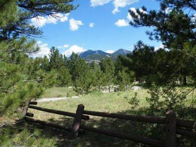
The Olive Ridge Campground is located within the Roosevelt National Forest, situated near the southeastern corner of Rocky Mountain National Park at an elevation of 8,350 feet.
Recreation
Olive Ridge is close to the Wild Basin area of the Rocky Mountain National Park. Several trailheads are in the area, including Wild Basin, Finch Lake and Sandbeach Lake trails. Popular activities include fishing, hiking and mountain climbing.
Facilities
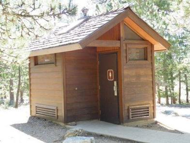
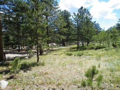
There are 56 sites in the campground. Twenty six are suitable for RV camping and 30 are more suitable for tents. Tents must be confined to the provided tent pads (14’x16′). There is a maximum of eight people per single site. Sites #26 and #39 are oversized and will accommodate 10 people at an additional fee. Each site has a picnic table and fire ring or grill. Vault toilets, andd trash services are provided. Firewood is for sale in the campground.
Natural Features
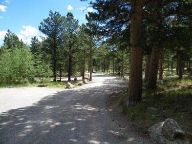
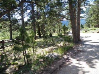
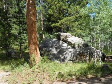
This peaceful campground is heavily wooded with a mixture of ponderosa pine and aspen trees. The interior roads are gravel/dirt.
Afternoon thunderstorms should be expected during the summer months.
Nearby Attractions
Rocky Mountain National Park’s main entrance is 14 miles north of the campground, in Estes Park. With lush valleys and craggy peaks reaching elevations higher than 14,000 feet, visitors are provided opportunities for countless breathtaking experiences and adventures. Scenic driving, hiking, backpacking, fishing, horseback riding and wildlife viewing are popular activities in the park.
Estes Park is a full-service community 15 miles from the campground. Dining, shopping, rafting, fly fishing, horseback riding and golfing opportunities await. Lake Estes offers boating, sailboarding and fishing.