
Directions
From Seattle, Washington, go north on I-5 to Everett. Take exit 194 onto Highway 2, then at Highway 204 go north toward Lake Stevens. Turn north on Highway 9, then east on Highway 92 to Granite Falls. The campground is approximately 16 miles east of Granite Falls on Highway 7 Scenic Byway.
Phone
360-804-1103
Activities
CAMPING
Keywords
ESSW,MT. BAKER-SNOQU NF – FS
Related Link(s)
Washington State Road Conditions
Overview
Esswine Group Campground is located on the banks of the tranquil Stillaguamish River in The Mt. Baker-Snoqualmie National Forest. The camp is close to several wilderness areas and offers visitors opportunities to experience both the serene and wild aspects of the Cascade region.
Recreation
In addition to being a prime location for hiking, fishing, picnicking and horseback riding in summer and early fall, Esswine offers excellent skiing and snowshoeing in the winter months.
Anglers will enjoy fishing from the gently-flowing Stillaguamish River, which is known for its salmon run. Chinook, coho, chum, pink and sockeye salmon, steelhead trout, sea-run cutthroat and bull trout use the river and its tributaries for spawning.
Facilities
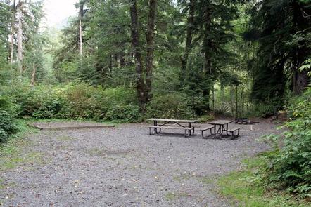
Esswine offers one large group campsite, making it a perfect setting for families or groups wanting privacy. The site can accommodate about 25 campers, and is ideal for a mix of tent and RV camping.
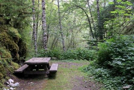
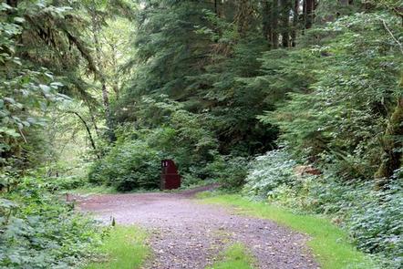
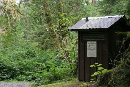
The site is equipped with tables, tent pads and campfire rings with grills. Vault toilets are also available.
Natural Features
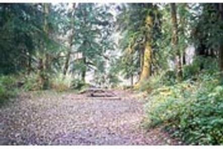
Old-growth forests of cedar, fir and hemlock line the wide, gently-flowing Stillaguamish River and tower over trails winding through moss-covered rocks.
On a clear day visitors can spot Mt. Baker, the most prominent feature of the Mt. Baker Wilderness Area. Rising to an elevation of 10,781 feet, this active volcano is perpetually snow-capped and mantled with an extensive network of creeping glaciers. Mt. Baker’s summit, Grant Peak, is actually a 1,300-foot-deep mound of ice, which hides a massive volcanic crater.
The surrounding undeveloped wilderness, clean streams and diverse forests support an abundance of wildlife. In addition to being home for a multitude of mammals, birds, amphibians and reptiles, the area sustains more rare species such as lynx, moose, wolves and wolverine. Grizzly bear sightings have been confirmed in the Cascade region, though black bear sightings are more common.
Nearby Attractions
Visitors enjoy the North Cascades and Mt. Rainer National Parks, where interpretive programs and exhibits offer education about the diverse landscape and history of the area.
The spectacular Pacific Crest Trail (PCT), one of the world’s premier National Scenic Trails, showcases some of North America’s most fantastic scenery, winding its way its way from Mexico to Canada through California, Oregon and Washington, and is accessible near the campground.