
Directions
Exit I-40 at exit 20, 25 miles west of Asheville, NC (87 miles east of Knoxville, TN). Turn right onto Cove Creek road 1/10 mile from I-40. Follow Cove Creek Road to the Park boundary. The road goes from pavement to gravel to pavement. Upon reaching the pavement the second time, turn left. Go 2.5 miles and turn right onto a dirt road after crossing a bridge. Go 1 mile to group camp gate..
Phone
828-497-9270
Activities
HISTORIC & CULTURAL SITE, CAMPING, WILDLIFE VIEWING, BACKPACKING
Keywords
Great Smoky Mountains National Park,Great Smokey Mountains National Park
Related Link(s)
National Park Services Concessionaire
North Carolina State Road Conditions
Overview
Cataloochee Group Camp in the remote and historic Cataloochee Valley, is surrounded by some of the most rugged mountains in the park, providing excellent hiking opportunities as well as ideal fishing conditions in the area’s many creeks.
Because of its relatively secluded location, visitors can enjoy the best that the Smoky Mountains National Park has to offer, without encountering crowds, which are sometimes common in other areas of the park.
Recreation
Great Smoky Mountains National Park is a hiker’s paradise, with a number of trails easily accessible from the Cataloochee Valley. Most notably, the Boogerman Trail, an almost 6-mile loop overlapping with the Caldwell Fork Trail, allows hikers to take in groves of old-growth forest.
High-quality backcountry fishing in the cool, remote waters of the countless streams that snake through the valley, provide anglers with choice opportunities to catch wild trout.
The park also holds one of the best collections of log buildings in the eastern United States. Over 90 historic structures, including houses, barns, outbuildings, churches, schools and grist mills, have been preserved or rehabilitated in the park. A handful of which can be found nearby the campground, including the Palmer House, which offers a self-guided museum.
Facilities
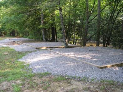
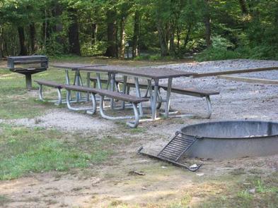
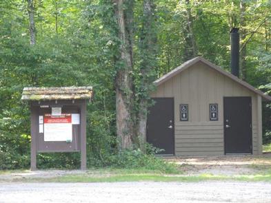
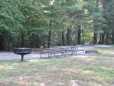
Cataloochee Group Camp provides a primitive outdoor camping experience with few amenities, but excellent access to trails and fishing streams. The sites are shaded by the lush surrounding forest, but there are no hookups or drinking water available.
The three group sites can accommodate up to 25 guests. For groups larger than 25 people, all three sites may be reserved at once.
Natural Features
Cataloochee Group Camp is in an area characterized by picturesque mountain ranges and pristine streams, like the nearby Cataloochee Creek and its many tributaries. Whether blanketed in bright spring wildflowers or vivid fall colors, the scenery at Cataloochee never disappoints.
The Smokies have the most biological diversity of any area in the world’s temperate zone. The park is a sanctuary for a magnificent array of animal and plant life, all of which is protected for future generations to enjoy.
In particular, the Cataloochee area is known for the elk herd, which populates the valley in the spring and fall.
Nearby Attractions
A number of the park’s famous historical buildings, including cabins and churches, are located close to the campground.
The town of Asheville, NC is approximately 35 miles from the campground and offers plenty of cultural and historic activities as well as restaurants and groceries.