

Directions
From Traverse City, Michigan take M-72 west to Empire. Proceed 2.1 miles north of Empire on M-22. Go 4.1 miles north on M-109 to West Harwood Road. Take a left on West Harwood Road and continue all the way to the end of the road to D.H. Day Group Campground.
Phone
231-326-4700
Activities
CAMPING, PICNICKING, VISITOR CENTER
Keywords
CG54,D.H. Day,D.H. Day Group,Day Campground,Sleeping Bear Dunes National Lakeshore
Related Link(s)
Michigan State Road Conditions
Overview
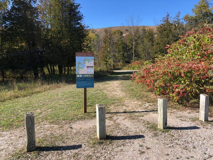
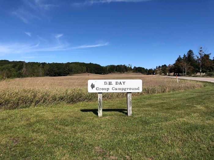
D.H. Day Group Campground is a tent-only facility located in the heart of Sleeping Bear Dunes National Lakeshore, about one mile north of the Dune Climb, where visitors can walk over miles of sand dunes. This year-round campground has four sites which accommodate groups of 7 to 25 people.
Summer temperatures range from the upper 70s to 90s during the day and can drop 20 degrees at night. Winters are cold, with daytime highs in the 20s to 30s and lows in the 10s and 20s; snow is usually on the ground from late November through March.
Recreation
D.H. Day Group is a hub for water activities. Motorized and non-motorized boating is allowed on the lake, with restrictions, and there is a boat ramp about six miles away by which boaters can access Lake Michigan. Campers can also rent canoes and kayaks in the town of Glen Harbor to float the nearby Crystal River. The beach at Glen Haven, which is popular for beachcombing and swimming, is about one mile away from the campground. There are no lifeguards on duty at the park’s beaches.
The facility is also close to the Dune Climb, where visitors can climb on sand dunes over 200 feet high, walk more than 1.5 miles on the dunes to Lake Michigan and catch a great view of Glen Lake.
Facilities
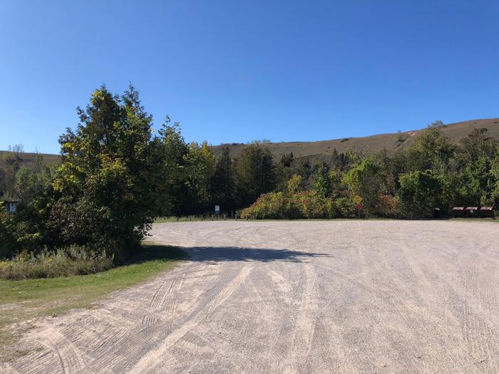
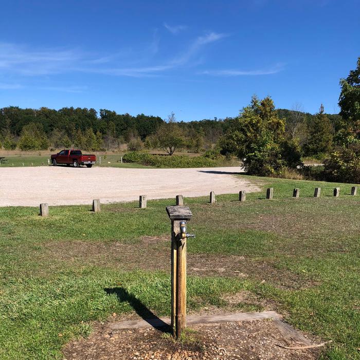
Picnic tables and campfire rings are provided at the campsites. The campground has drinking water during the reservation season, but the water is shut off from October through April. Pets and RVs are not allowed in the group sites. Access to the campground is via a dirt road.
Natural Features
The campground is open with sparse vegetation. Contrary to the park’s name, bears are rarely sighted here, yet other wildlife such as birds, deer and wild turkey may be seen.
Although the Lake Michigan shore is long and narrow, it has northern hardwood and conifer forests, abandoned farm meadows, wetlands, lakes, streams, bogs and splendid examples of a glacially formed landscape.
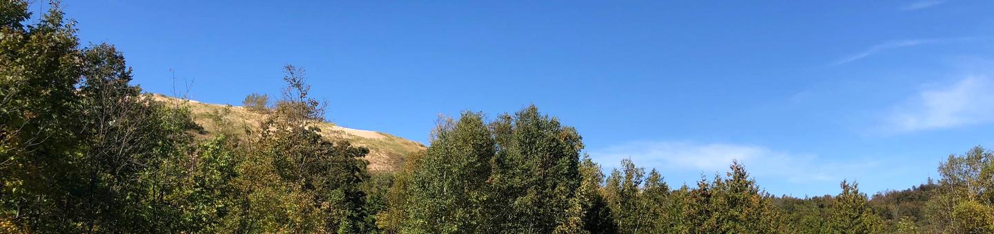
The most prominent features in the park, for which it was named, are the perched sand dunes above Lake Michigan. The overlooks at Sleeping Bear, Empire and Pyramid Point bluffs are about 400 feet above the lake. With 65 miles of Lake Michigan shoreline and numerous inland lakes and streams, the park is wonderfully water-oriented.
Nearby Attractions
The historic area of Glen Haven, which features a working blacksmith shop, a 1920s-era general store and Sleeping Bear Point Maritime Museum, is within a short drive of the campground.