
Directions
From the east (Traverse City): Take State Highway M-72 west to Empire. Turn south on State Highway M-22. Proceed 10 miles and turn right on Lake Michigan Road. Follow the signs to Platte River Campground.
From the south (US-31/M-115): At the junction of U.S. Route 31 and M-115, continue north for seven miles. Turn left on Platte Road. Proceed five miles and turn right on M-22. Proceed one mile and turn left on Lake Michigan Road. Follow the signs to Platte River Campground.
PHYSICAL ADDRESS: 5685 Lake Michigan Road, Honor, MI
Phone
231-326-4700
Activities
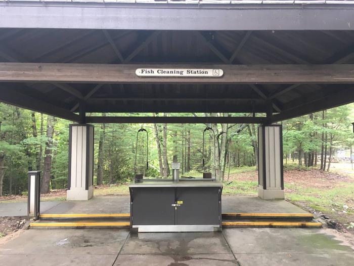
BIKING, CAMPING, FISHING, HIKING, PICNICKING, VISITOR CENTER, WILDLIFE VIEWING, DAY USE AREA, PHOTOGRAPHY, PADDLING, SWIMMING, RANGER STATION, KAYAKING, CANOEING, BIRDING, WATER ACCESS, EVENING PROGRAMS, AMPHITHEATER
Keywords
CG53,PLATTE CAMPGROUND,NATIONAL PARK SERVICE CAMPGROUND,PLATTE NATIONAL CAMPGROUND,PLATTE RIVER,Sleeping Bear Dunes National Lakeshore
Related Link(s)
Michigan State Road Conditions
Overview
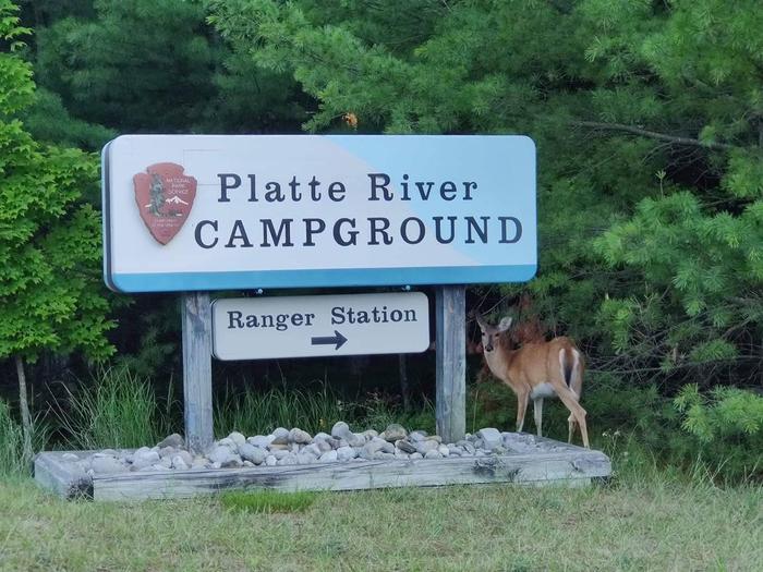
Platte River Campground is located in the southern district of Sleeping Bear Dunes National Lakeshore, on the lower peninsula of Michigan. This year-round facility is one of the most popular campgrounds in the park. It is within walking distance of the Platte River and a short walk or drive away from the Lake Michigan shore. Hikers can access many of the area’s day use and backpacking trails just north of the campground.
Summer temperatures range from the upper 70s to 90s during the day and 50s to 70s at night. Winters are cold, with daytime highs in the 20s to 30s and lows in the 10s and 20s; snow is usually on the ground from late November through March.
Recreation
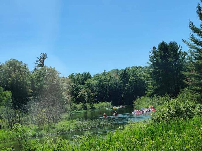
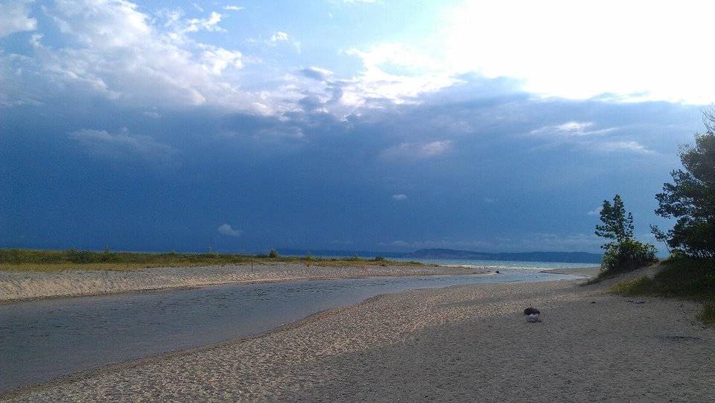
Campers can hike, canoe, kayak and fish on the river or the lake. There are canoe rentals at nearby Platte River Point, where the river meets the lake (the point also has beach access for those wishing to drive there). The Platte Plains trail system boasts more than 25 miles of trails, some of which can be accessed a short walk away from the campground. Trails to the primitive White Pine backcountry campground are also close by.
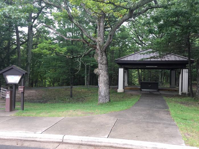
Facilities
This facility is well-maintained, well-organized and offers a wide variety of sites, including back-in and pull-through sites with electric hookups for RVs, non-electric sites, walk-to sites, group sites (hike-in, tent-only) and a nearby backcountry campground. Each site has a campfire ring and picnic table. Each loop has restrooms with flush toilets and sinks. Hot showers are also available. The group sites allow no more than 25 people per site; pets and RVs are not permitted in them.
Natural Features
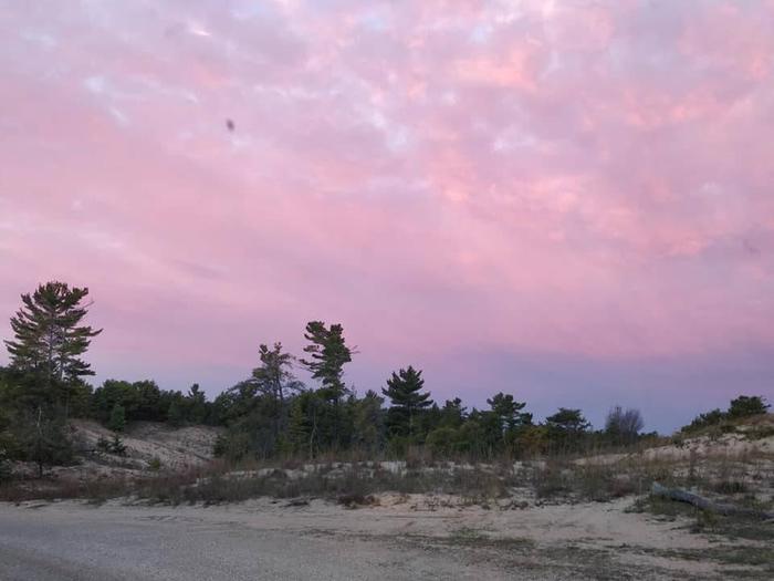
The campground lies in a wooded area within walking distance of the Platte River and less than two miles away from the beaches of Lake Michigan. Although the lakeshore is long and narrow, it has northern hardwood and conifer forests, abandoned farm meadows, wetlands, lakes, streams, bogs and splendid examples of a glacially formed landscape.
The most prominent features in the park, and those for which it is named, are the perched sand dunes above Lake Michigan. The overlooks at Sleeping Bear, Empire and Pyramid Point bluffs are about 400 feet above the lake. With 65 miles of Lake Michigan shoreline and numerous inland lakes and streams, the park is wonderfully water-oriented.