
Directions
Note: Do not rely exclusively on your mobile GPS, Google Maps or similar automated navigation systems to get to the Mammoth Cave Campground. Routes can be misleading and incorrect.
Directions from the North: Take Interstate 65 to Exit 53 (Cave City Exit). Turn right onto KY-70. Follow 70/255 as it becomes the Mammoth Cave Parkway in the park. Follow the Mammoth Cave Parkway towards the Visitor Center. Turn left into the campground by the Cavers Camp Store.
Directions from the South: Take Interstate 65 to Exit 48 (Park City Exit). Turn left onto KY-255 and follow 255 as it becomes the Park City Road into the park. Follow Park City Road until it joins the Mammoth Cave Parkway; turn left. Follow the Mammoth Cave Parkway towards the Visitor Center. Turn left into the campground by the Cavers Camp Store.
Phone
270-758-2424
Activities
BIKING, CAMPING, HIKING, VISITOR CENTER, PHOTOGRAPHY, RANGER STATION, STAR GAZING, BIRDING, CAVING
Keywords
CG43,Headquarters Campground,Mammoth Cave National Park,Mammoth,Mammoth Cave Headquarters Campground,Vistors Center Headquarters Campground
Related Link(s)
National Park Services Concessionaire
Kentucky State Road Conditions
Overview
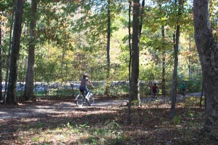
Mammoth Cave Campground puts campers in a prime spot to explore the depths and overland treasures of Mammoth Cave National Park. Mammoth Cave is an underground passageway containing more than 400 miles of naturally sculpted limestone and sandstone. It is the longest recorded cave system in the world. The grand-scale chambers and long, winding passageways were the inspiration behind the park’s name. The campground doubles as an entry point to 14 miles of hiking and biking trails. It’s also a five minute walk to the visitor center, where cave tours begin.
Recreation
A must-do activity in the park is exploring Mammoth Cave. Walking tours of the caverns leave from the visitor center daily. There are also miles of bike trails and hiking trails within the park.
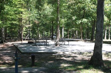
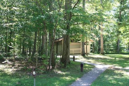
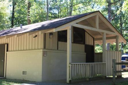
Facilities
The 109 primitive campsites are set around a paved parking area surrounded by aromatic trees. Water and restrooms are located on the insides of the loops, and the park Visitor Center is a five minute walk away. Coin operated showers are available adjacent to the campground at the Caver’s Camp Store. Inquire at the Camp Store for current shower fees.
Natural Features
The campground is tucked inside Mammoth Cave National Park, which boasts scenic valleys along the Green River. The river is within walking distance of the camp, and the hilly Kentucky countryside expands beyond the valley.
Deer and turkeys commonly stroll around the campground, so visitors are likely to see them grazing in the early morning and at dusk.
Nearby Attractions
Nearly 30 miles of the Green and Nolin rivers offer canoeing and boating through the park. Commercial outfitters outside the park rent canoes, kayaks and safety equipment. Most trails north of the Green River are open for horseback riding. Commercial liveries outside the park rent horses and some may provide organized excursions.
Charges & Cancellations
For rules and reservation policies please follow the link below:
https://www.recreation.gov/rules-reservation-policies