
Directions
North Rim Campground is 210 driving miles (4.5 hours) north of Mather Campground on the South Rim.
This facility is located at the end of State Highway 67, about 41 miles south of Jacob Lake, Arizona, 87 miles south of Kanab, Utah and 120 miles southwest of Page, Arizona. Highway 67 is the only road into and out of the North Rim. There is no access by road across the canyon from the North Rim to the South Rim.
From State Highway 89A, take Highway 67 south for 30 miles to the park entrance. The campground is located about 11.5 miles from the entrance station. The turn for the campground is the second right after the North Kaibab Trailhead parking area, and 1/4 mile past the turn for the North Rim Unit (Administration) and Backcountry Offices.
Phone
928-638-7814
Activities
CAMPING, VISITOR CENTER
Keywords
CG20,North Rim,Grand Canyon
Related Link(s)
Overview
The North Rim Campground is located on the North Rim of Grand Canyon National Park in northern Arizona. The canyon’s rustic and less populated North Rim is home to abundant wildlife, hiking trails, and unparalleled views of one of the Seven Natural Wonders of the World. The facility is at an elevation of 8,200 ft., with pleasant summer temperatures and frequent afternoon thunderstorms. There may still be snow on the ground when the campground opens in mid-May; likewise, it may snow before the last reservation day in mid-October. Because of this variability, visitors should come prepared for any weather.
Recreation
Hiking is the most popular activity for visitors. Campers have access to the Transept Trail, an unpaved trail that travels along the rim to the visitor center and lodge, as well as the Bridle Trail, which cuts through the forest and connects with the North Kaibab Trail. The Bridle Trail is the only trail that allows bikes and pets. The North Kaibab Trail descends into the Inner Canyon and is a short walk from the campground.
Facilities
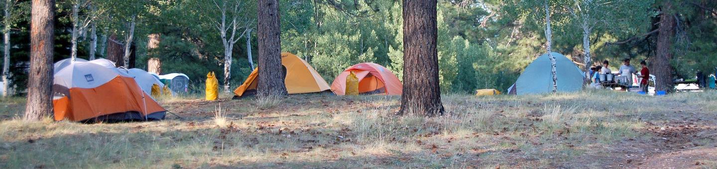
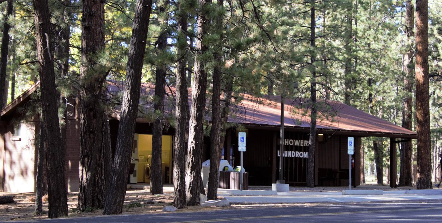
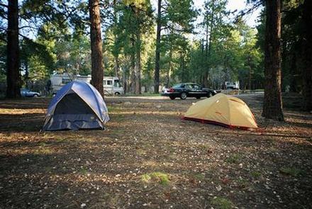
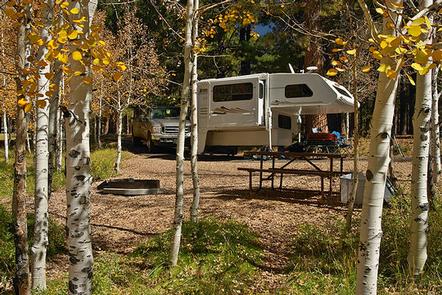
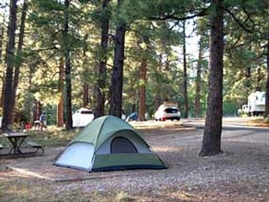
There are picnic tables and campfire rings with cooking grills at each of the 90 campsites, as well as drinking water spigots placed throughout the campground. Coin-operated showers and laundry are available within walking distance. The Grand Canyon Lodge dining room, deli, general store, gift shop and post office are only operational from May 15 to October 15. The Grand Canyon Lodge and visitor center are one mile south of the campground. The nearest town is Jacob Lake, 41 miles away, and the closest full service grocery stores and medical facilities are in Kanab, Utah and Page, Arizona.
Natural Features
North Rim Campground is shaded by large Ponderosa pines interspersed with aspens, which turn golden-yellow in the early fall. The campground borders Transept Canyon, a side canyon that drains into the main canyon, providing a stunning view for the premium campsites. The North Rim lies on the Kaibab Plateau, an area that has been uplifted by geologic processes, making it higher in elevation. Many species of wildlife call the Kaibab home, including the tassel-eared Kaibab squirrel which is found nowhere else in the world. A short walk along the Transept Trail or a visit to the Grand Canyon Lodge during sunrise or sunset yields spectacular views of yellow, orange, red and violet on the canyon walls. Although there is no view of the Colorado River from North Rim, layers of rock display billions of years of geologic history.