
Directions
From downtown Nashville, TN, take I-40 east for 5 miles to exit 219. Turn right on Stewarts Ferry Pike and continue straight on Bell Road for 5 miles. Turn left on Smith Springs Road, then left on Anderson Road. The campground is ahead about 1 mile on the left or continue straight on Anderson Road to access the day use area and shelter.
Phone
615-361-1980
Activities
BOATING, CAMPING, FISHING, HIKING, WILDLIFE VIEWING, SWIMMING SITE
Keywords
ANDR,J.PERCY PRIEST,PERCY PRIEST LAKE,J PERCY PRIEST DAM
Related Link(s)
Tennessee State Road Conditions
Overview
Anderson Road Campground is a lakeside oasis in the green hills of Tennessee, providing campers with countless recreational activities on the lake and in the surrounding woods and grasslands.
Recreation
The lake provides a variety of outdoor recreational opportunities for millions of visitors each year. Because of the temperate climate and relatively long recreation season, visitors have numerous activities to choose from, including fishing, hunting, picnicking, boating, canoeing, hiking, horseback riding and wildlife viewing.
Fishing opportunities abound at J. Percy Priest Lake, with a wide variety of species available, including largemouth and smallmouth bass, crappie and Cherokee bass. Other species such as catfish, bluegill, bream and trout provide excellent opportunities for younger anglers.
Anderson Road Fitness Trail is a paved trail winding a little over a mile through the cedar glade area beside the lake.
Facilities
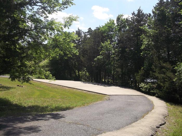
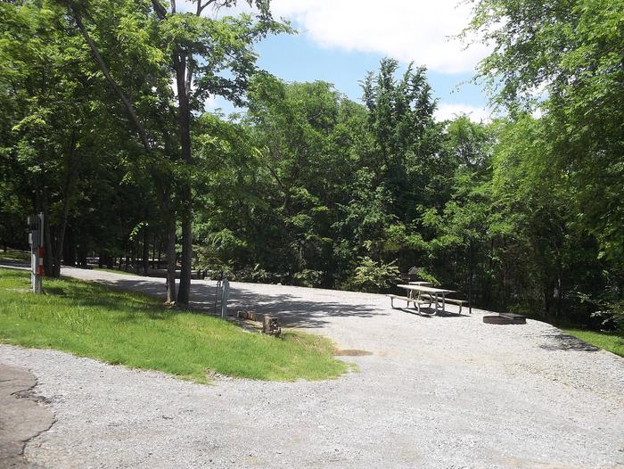
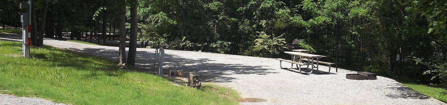
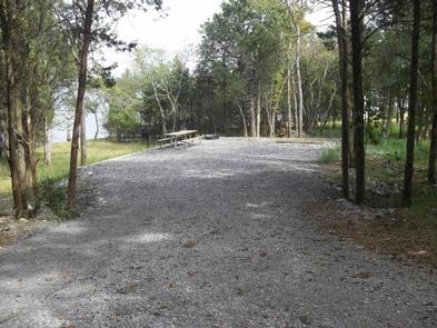
Anderson Road Campground offers 37 shady and spacious campsites. The campground features drinking water, a dump station, shower house and a boat ramp. Near the campground is a Day Use area that campers can access with their hangtags, where a swimming beach is provided, allowing guests to take advantage of the vast, sparkling lake. The Day Use also provides picnic tables, grills, a shelter and playground. Please note this area may be closed on the weekends due to high volume of visitors in the area.
Natural Features
J. Percy Priest Dam and Lake was one of the first Corps of Engineers lakes to have recreation as part of its mission. The dam, completed in 1968, impounds 42 miles, with 14,200 surface acres of water.
In soothing contrast to the sparkling waters of the lake are the adjacent 19,087 acres of grasslands and woodlands.
A highlight of the region, the Cedar Glades Natural Area, is home to countless wildlife and plant species, including the Tennessee coneflower.
Nearby Attractions
J. Percy Priest Lake is conveniently located about ten miles east of downtown Nashville, offering visitors plenty of cultural activities in addition to the conveniences of a metro area.
Charges & Cancellations
There is a $10.00 transaction fee for cancelled reservations.